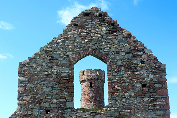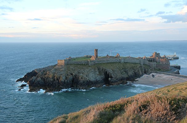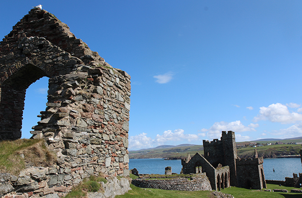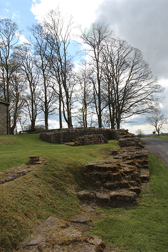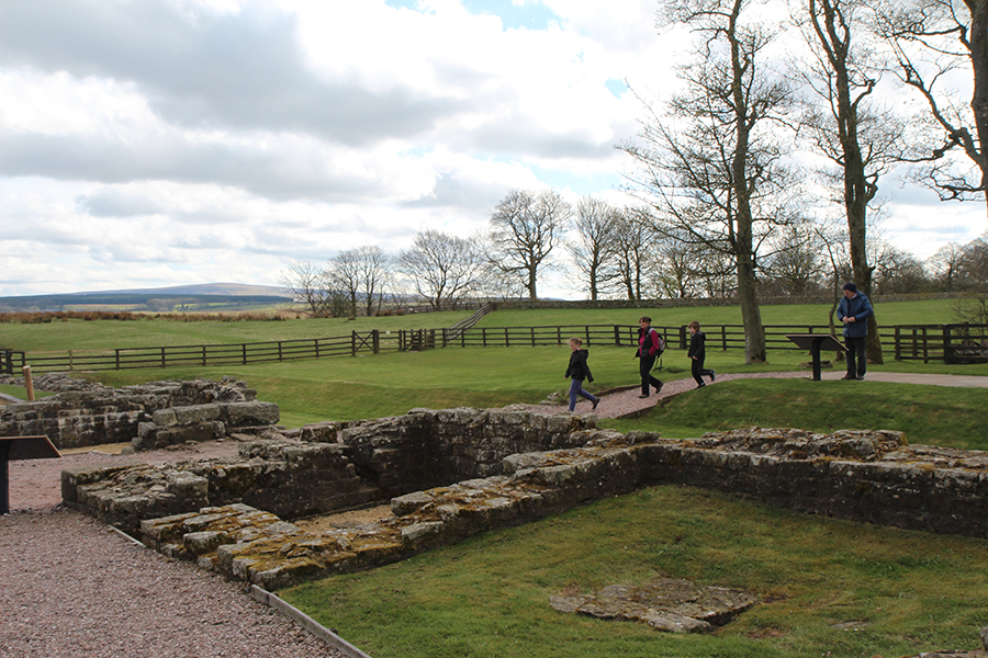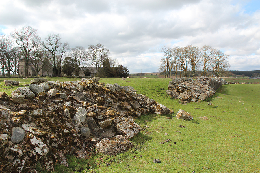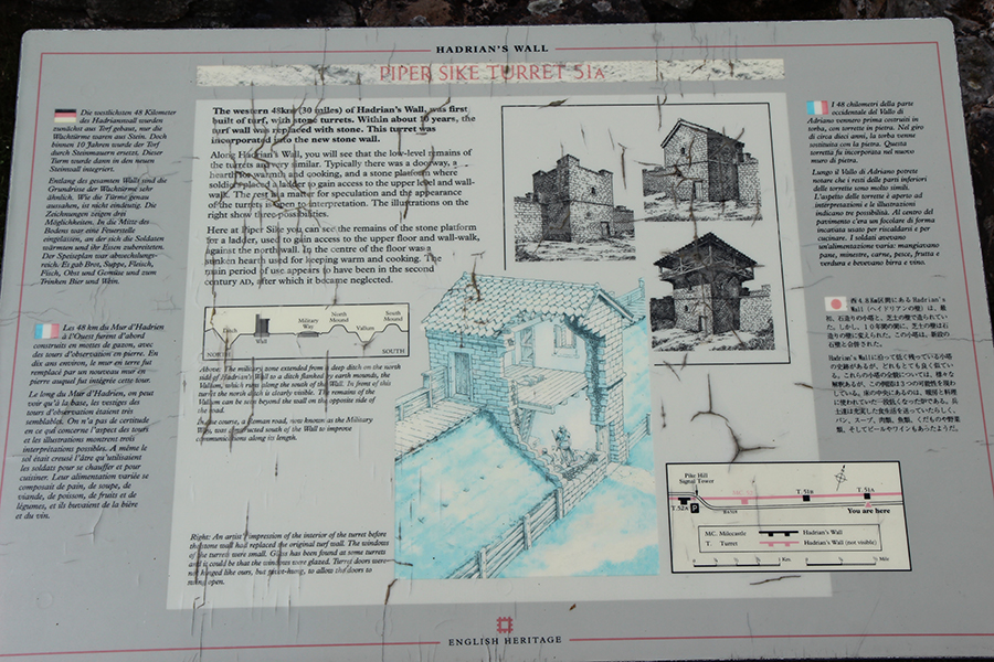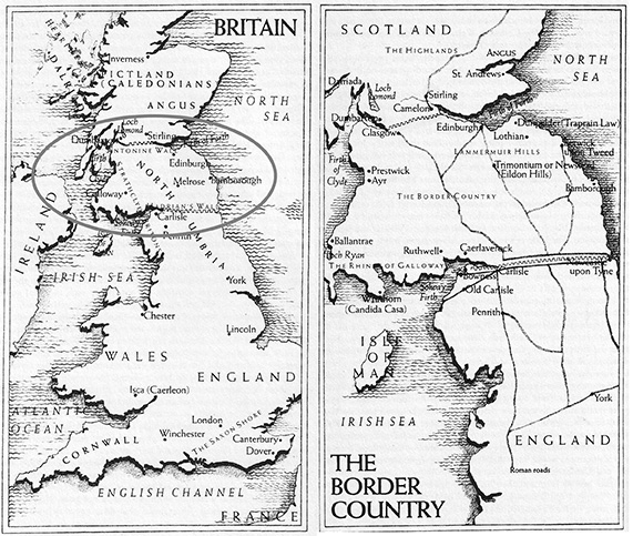
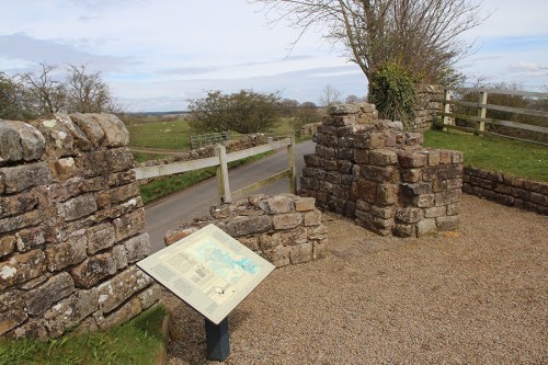
Turret 51A, Hadrian’s Wall
Continuamos com King Arthur, de Norma L. Goodrich: “Delimitamos o reino de Arthur nos quatro cantos: Dumbarton (NW), Carlisle (SW), Stirling (NE) e Berwick (SE). Estas cidades hoje são importantes centros, à exceção do porto de Berwick, que foi em grande parte destruído durante as guerras entre Inglaterra e Escócia que se seguiram.”
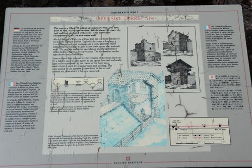
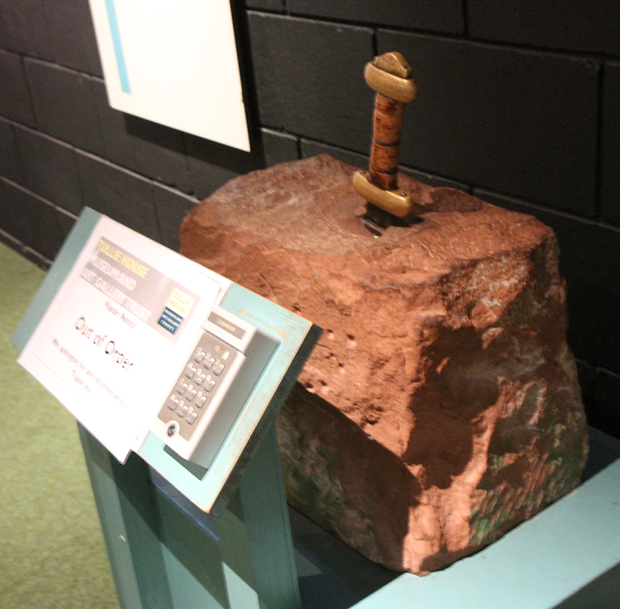
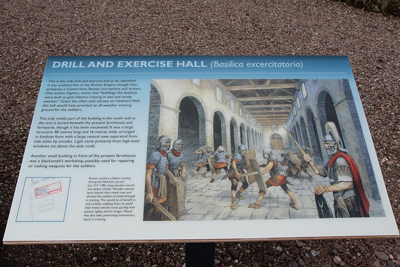
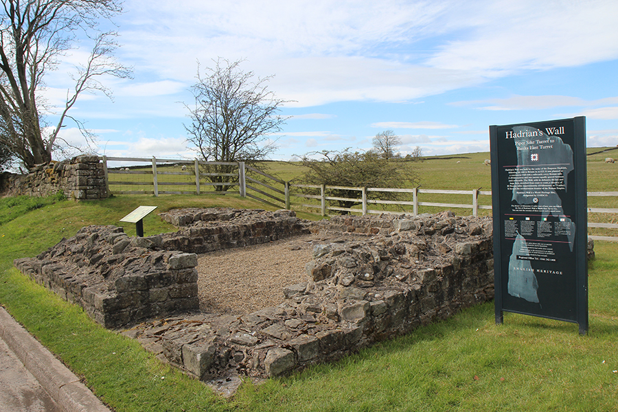
Placa informativa da Turret 51A / Signpost

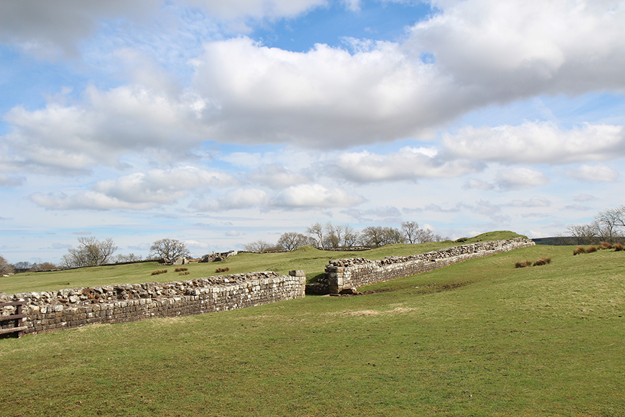
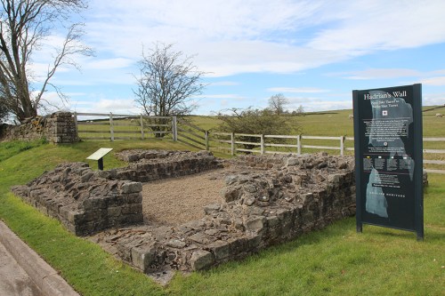
Piper Sike Turret 51A
Let’s keep reading King Arthur by Norma L. Goodrich:
“ We delimited King Arthur’s kingdom at its four corners: Dumbarton (NW), Carlisle (SW), Stirling (NE) and Berwick (SE). These are key centers today, with the possible exception of the seaport of Berwick, which was largely destroyed during the subsequent wars between Scotland and England.”

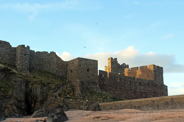
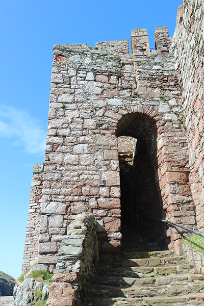
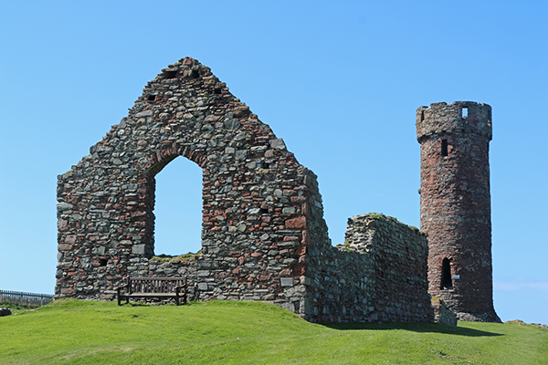
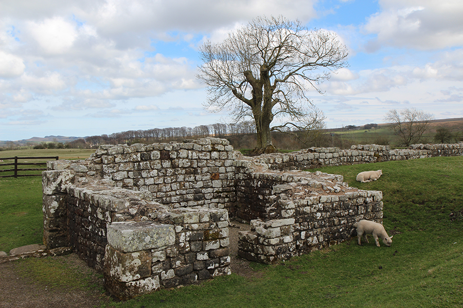
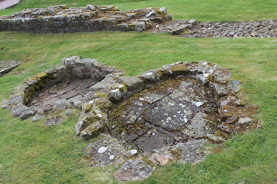
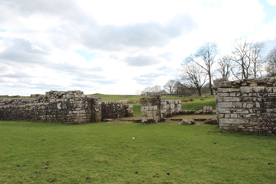
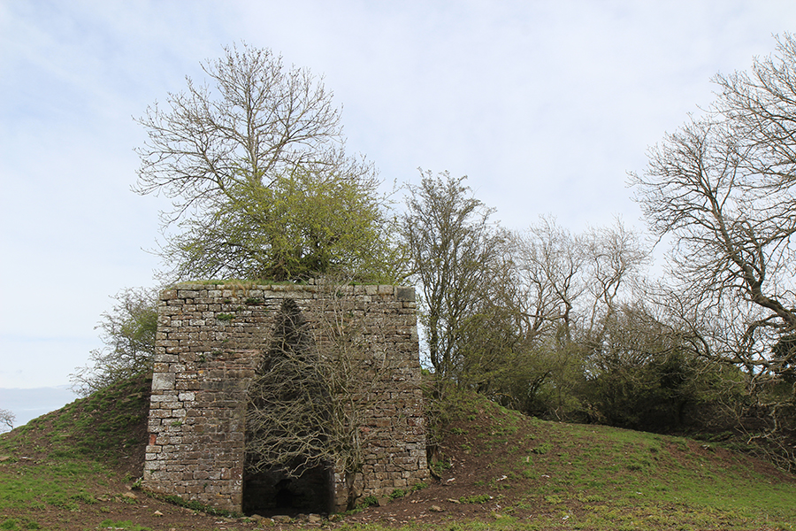
Turret 51B
“Para quem acredita no Arthur histórico, o principal problema é a localização dos seus castelos. Camelot permanece o mais importante de todos, onde provavelmente estariam abrigados os tesouros do Rei. Estes foram citados pelo enciclopedista Lambert de Saint-Omer em seu livro “Liber floridus”, que precedeu Geoffrey of Monmouth em mais de uma década: “Existe um palácio na Grã Bretanha, na terra dos Pictos, do guerreiro Arthur, construído com arte maravilhosa e diversa, no qual todos os feitos épicos de suas conquistas e guerras podem ser vistos esculpidos”.”

Hadrian’s Wall Turret 51B
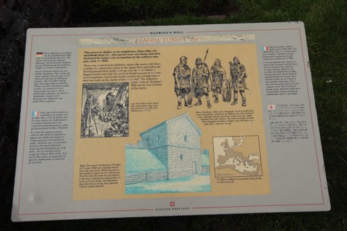
Placa informativa, Turret 51B/ Signpost
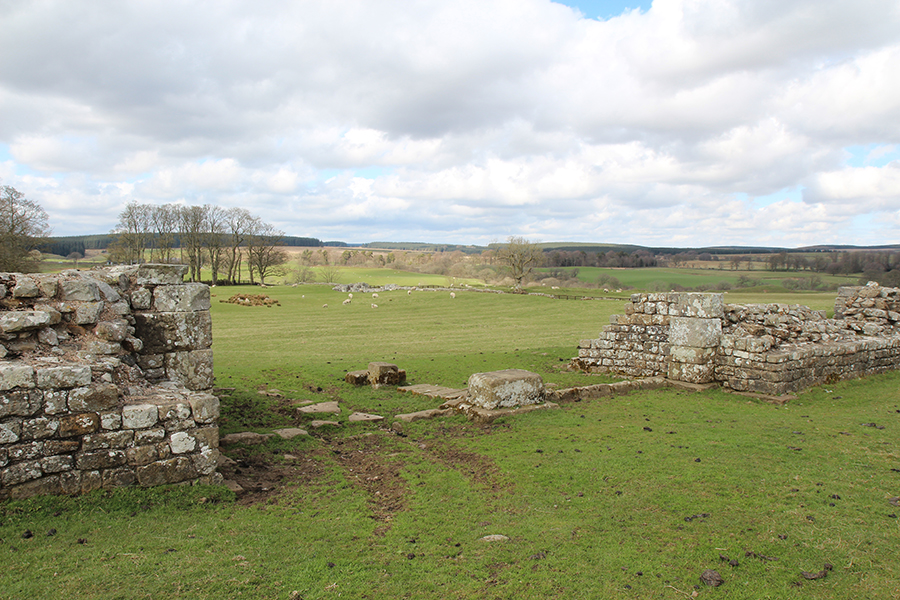
Turret 51B, à beira da estrada / By the highway
“For those who think of King Arthur as historical, the chief problem must be the emplacements of King Arthur’s castles. Camelot must remain most important of all, and it is likely that it housed the king’s treasures. These were reported by the encyclopedist Lambert de Saint-Omer in his book “Liber floridus”, which antedated Geoffrey of Monmouth by more than a decade: “There is a palace in Britain, in the land of the Picts, of the warrior Arthur, built with marvelous art and variety, in which all the epic deeds of his conquests and of his wars are to be seen sculpted”.”
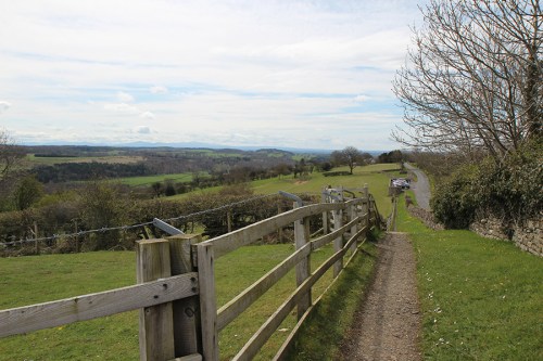
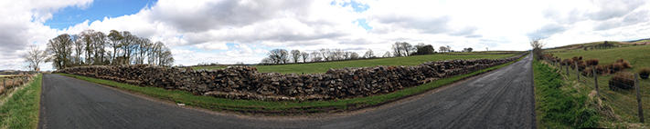
Trilha segue paralela à estrada/ Footpath parallel to the road
“Camelot, como sabemos, por muito tempo foi considerado fictício. Já foi identificado como sendo Colchester, Cadbury e Winchester, mas estudiosos por fim concluíram que não era o nome de nenhum lugar na Grã -Bretanha. Sir Thomas Malory parecia inclinado a acreditar que Camelot era o nome dado ao castelo onde e enquanto o Rei ali estivesse residindo, qualquer que fosse o lugar. O livro “Perlesvaus” * afirma que havia dois Camelots.”
NOTA: * significa Percival – o cavaleiro que por fim encontrou o Santo Graal. Este livro também é chamado Li Hauz Livres du Graal, A Nobre História do Santo Graal, trata-se de um antigo romance Arthuriano francês da primeira década do século XIII, do qual sobreviveram três manuscritos, dois fragmentos e duas gravuras do século XVI. Nada se sabe sobre o autor.

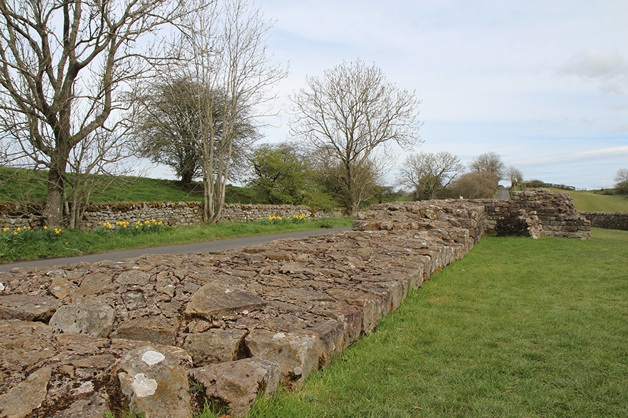
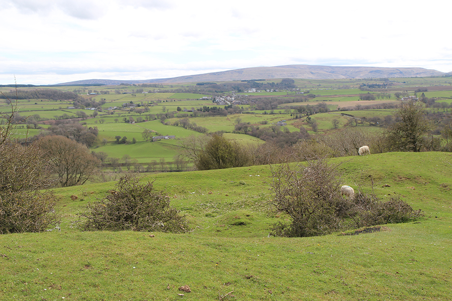
Linda região de pastagens/ Lovely pasture landscape
“Camelot, we know, has long been considered fictitious. It has been identified as Colchester, Cadbury and Winchester, but scholars finally concluded that it was not the name of any place in Britain. Sir Thomas Malory seems to have been inclined to believe that Camelot was King Arthur’s castle when the king was in residence there, at whatever site that may have been. The book “ Perlesvaus * ” states that there were two Camelots.”
NOTE: *means Percival – the knight who eventually found the Holy Grail. This book is also called Li Hauz Livres du Graal , The High History of the Holy Grail, is an old French Arthurian romance dating to the first decade of the 13th century. It survives in three manuscripts, two fragments, and two 16th-century printings. Nothing is known of the author.
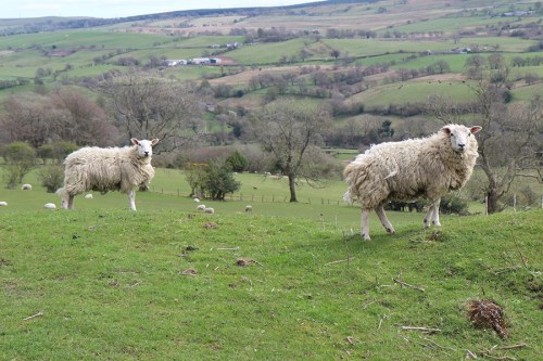
Ovelhas / Sheep
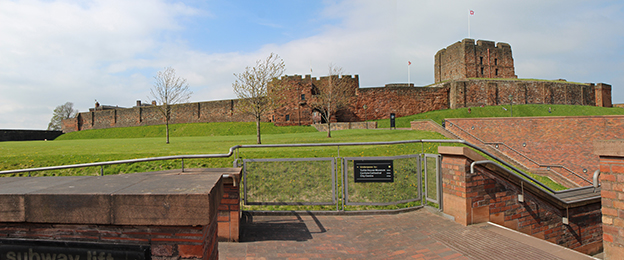
“Claramente Carlisle é apontado como sendo o principal castelo de Arthur, portanto seria um deles, e o outro foi identificado por O.G.S. Crawford: Castelo de Stirling, chamada “chave para a Escócia”. William of Worcester também escreveu que “Rei Arthur presidia a Távola Redonda na fortaleza militar de Stirling, também conhecida como Snowdon West Castle.”
Norma Goodrich afirma que Camelot se situava em King’s Knot, abaixo da face norte do penhasco em Stirling: “ A topografia é inconfundível, de acordo com todas as descrições feitas por diversos autores.”
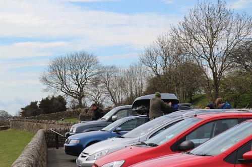
Estacionamento próximo às ruínas / Parking lot beside the ruins
“Clearly Carlisle is indicated as King Arthur’s principal castle, so it was probably one, and the other has been identified by O.G.S. Crawford as Stirling Castle, called the “key to Scotland”. William of Worcester also wrote that “King Arthur presided over the Round Table in the military fort of Stirling, otherwise known as Snowdon West Castle. “
Norma Goodrich states that Camelot was located at King’s Knot, below the western-facing cliff at Stirling: “ The topography is unmistakable, fitting all descriptions by several authors.”

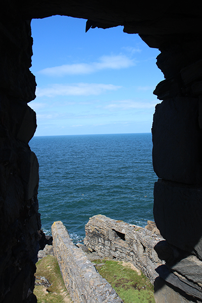
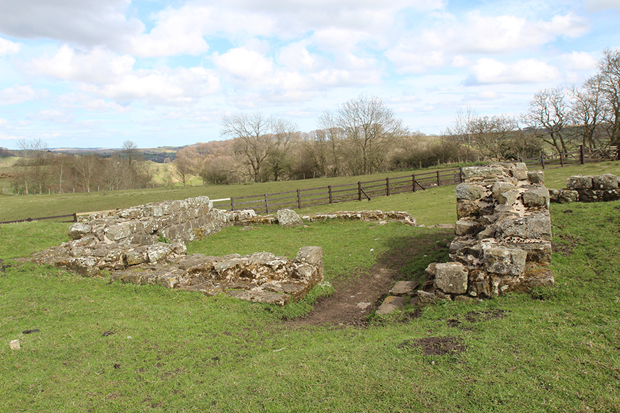
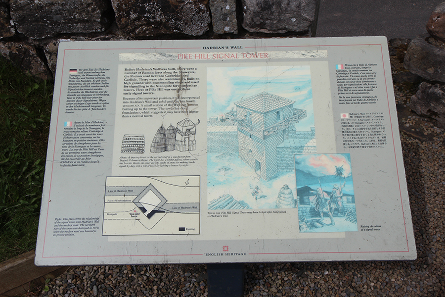
Pike Hill Signal Tower
“Tanto na Idade das Trevas como hoje, pode-se chegar à garganta de Stirling, entre os imponentes montes Campsie-Gargunnock a oeste e o estuário do Rio Forth a leste. O corredor norte-sul, conhecido por muitas batalhas, tem dez milhas de comprimento e quatro de largura. O forte pré-histórico ficava, como a fortaleza moderna e os quartéis ainda em uso hoje, sobre a enorme parede inexpugnável, avistando do alto dos íngremes penhascos a cidade de Dumbarton a oeste. Praticamente a única montanha em toda a extensão de planícies. Stirling, visto da Muralha de Antonino, é ainda mais impressionante. O Castelo de Stirling dominava a única e estreita travessia do estuário do Rio Forth que, durante a cheia, atingia a largura de uma milha. Junto ao castelo, olhando para baixo dos penhascos a oeste, pode-se ver claramente a planície abaixo do King’s Knot. Trata-se de um monte octogonal cujo nome significa “castelo do monte”, do tipo sobre o qual eram construídos castelos com paliçadas de madeira nos tempos ancestrais. Sobre este monte outrora ergueu-se Camelot, de onde o Rei Arthur presidia a Távola Redonda.”
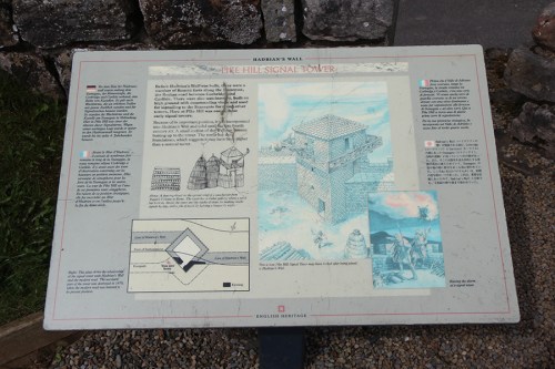
Pike Hill Signal Tower Signpost
“Whether in the Dark Ages or today, one can stand at the Stirling Gap, beside the lofty Campsie-Gargunnock Hills to the west and the Forth estuary to the East. The north-south corridor, famous for many battles, is ten miles long and four miles wide. The prehistoric fort sat, like the modern fortress and barracks still in use today, upon the great impregnable wall, looking down its precipitious cliffs toward Dumbarton on the west.
One mountain almost alone in the expanse of flatlands. Stirling seen from the Antonine Wall is an even more impressive mass. Stirling Castle commanded the only and very narrow crossing of the flooded Forth River estuary. At peak flood the Forth stretched one mile wide across flatlands. Standing beside the castle and looking down the west cliffs of Stirling, one can plainly see on the meadowland below the King’s Knot. This is an octogonal mound, whose name means “castle mound”, upon which the wooden palisaded castles were built in ancient times. Upon this mound once stood King Arthur’s Camelot. At his castle he chaired the Round Table.”

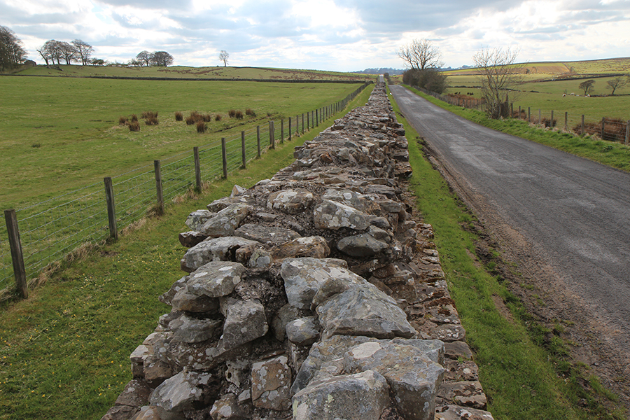
footpath
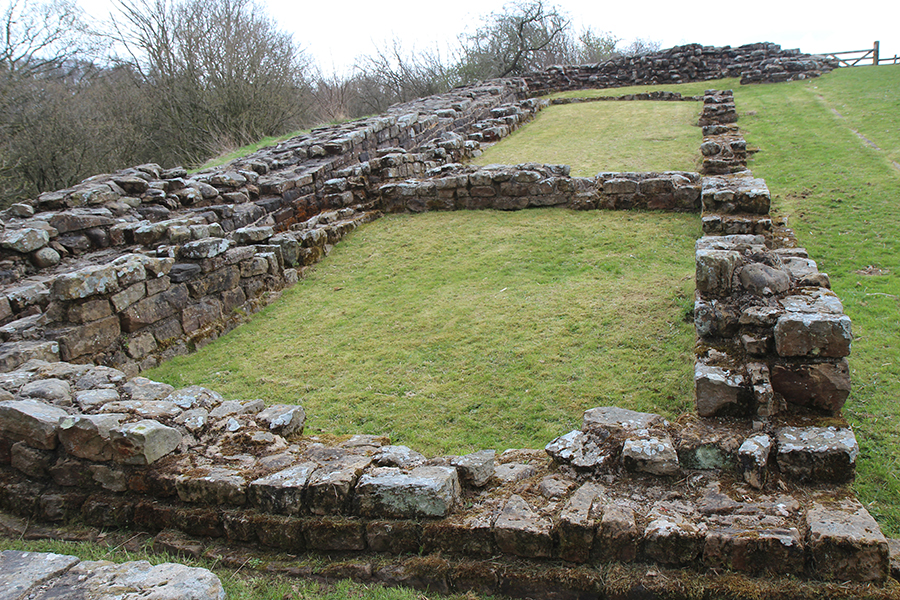
Assim, enquanto eu trilhava a Muralha de Adriano a caminho do Forte Romano de Birdoswald, estav muito mais perto de Arthur do que podia imaginar.
So, as I treaded along Hadrian’s Wall, approaching Birdoswald Roman Fort, I was much closer to Arthur than I could imagine.

mais turrets
Vista da região de Stirling no Google Maps / Stirling overview
Compartilhe meu blog se você gostou.Share my blog if you liked it!
Read Full Post »