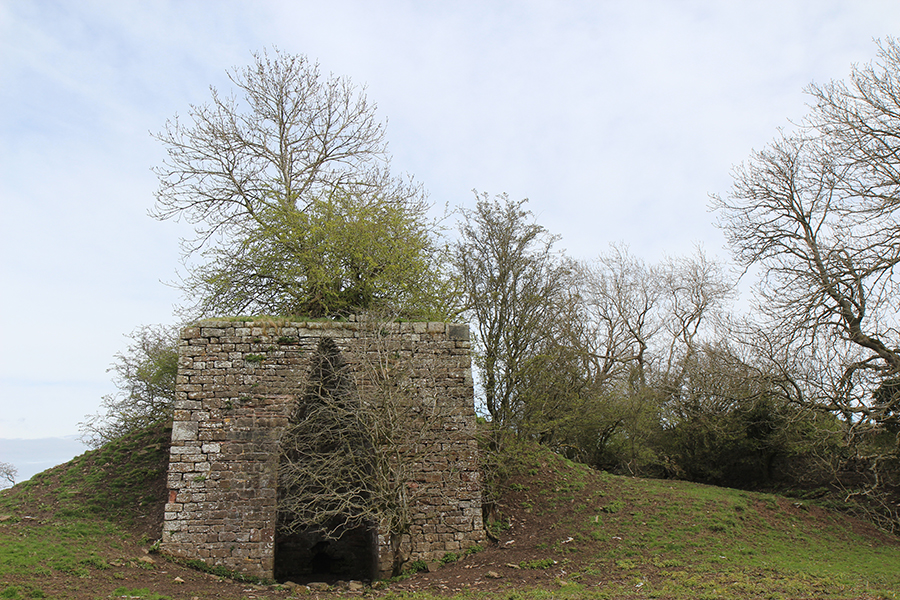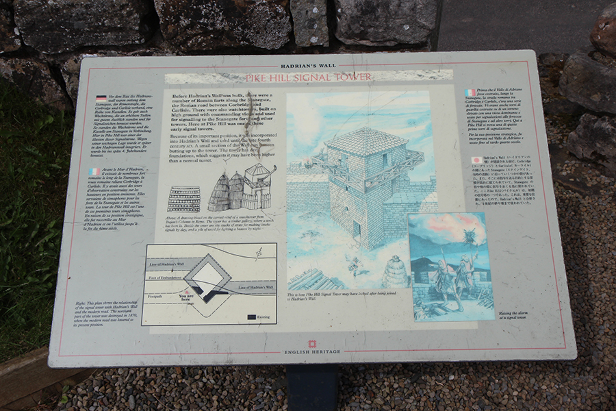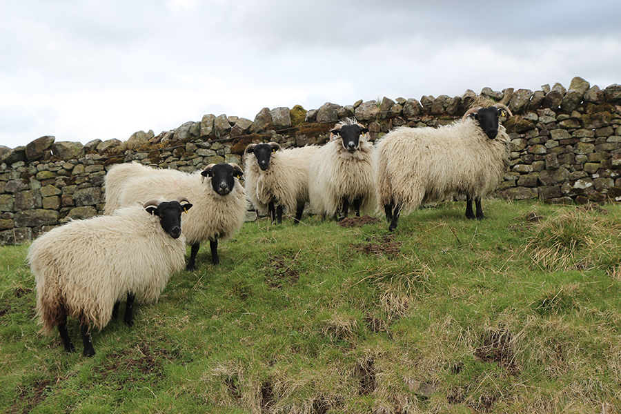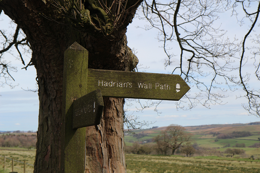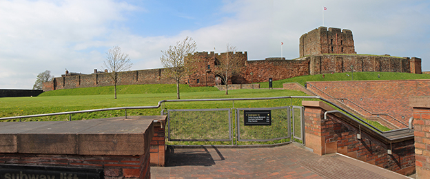
Carlisle Castle
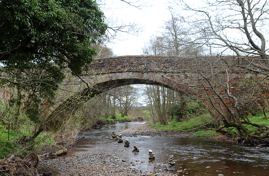
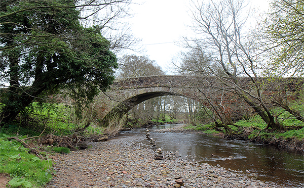
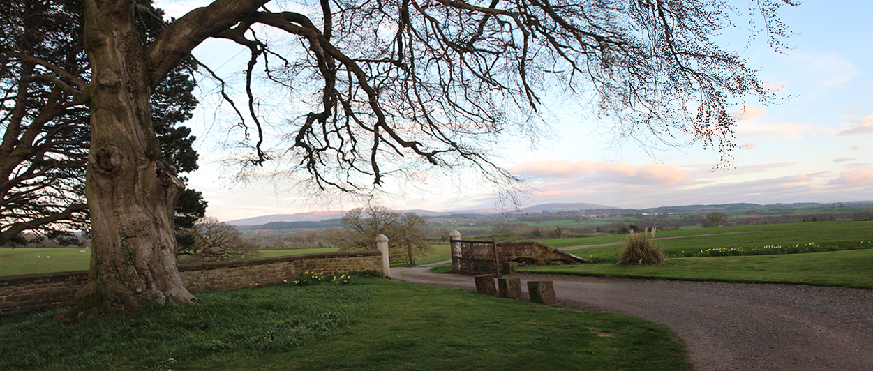
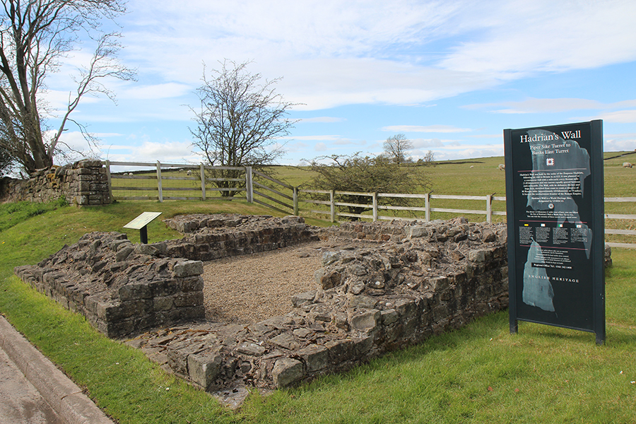
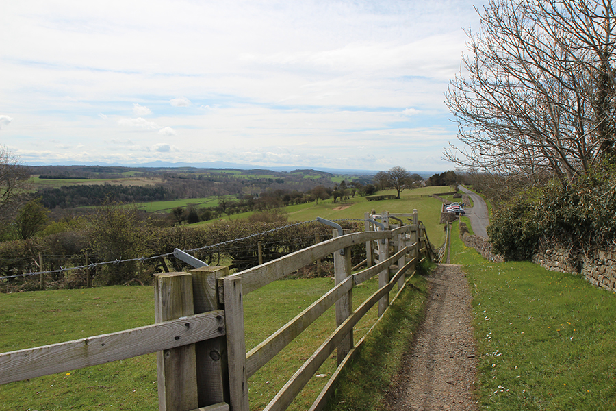
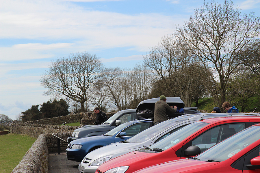
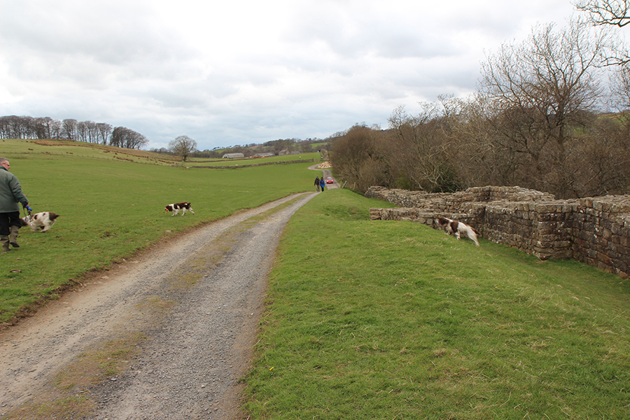
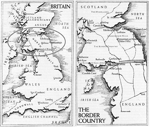
Esta cidade foi onde terminei a caminhada. Na verdade o fim do percurso é em Bowness-on-Solway, uma vila com cerca de 100 casas no estuário de Firth, fronteira entre Inglaterra e Escócia, o extremo oeste da Muralha de Adriano. Em vez de prosseguir eu tinha que voltar a Londres, pois perdera o passaporte no início da caminhada e precisava ir ao consulado brasileiro para obter o documento que me permitiria embarcar de volta para casa. Assim, a exploração da área teve que ficar para a próxima vez.

Mosaico representando uma cena medieval na passagem para pedestres / Medieval scene tiled in the pedestrian’s passage
In this city my journey ended, although the western end of Hadrian’s Wall is in Bowness-on-Solway, a village of about 100 houses on the Solway Firth separating England and Scotland. But I had to go back to London, because I had lost my passport when I started walking and had to go to Brazilian Consulate to get a document required to board the plane back home. So I had to postpone exploring that area.

Centro da cidade num dia chuvoso / A rainy day downtown
” Carlisle era o segundo mais importante centro cristão na época de Arthur, a julgar pelos achados arqueológicos. Como Londres, Caerleon e Chester, foi anteriormente um vicus , ou centro militar romano. Do ponto de vista logístico era o tipo de centro capaz de suprir alimento e forragem para um exército e seus cavalos, um centro agrícola. No tempo dos romanos, seus quase 300 quilômetros quadrados eram cercados por muros e protegidos ainda pela geografia natural do terreno…. Provavelmente o Rei Arthur foi coroado em Carlisle” . (Citando “Arthur”, de Norma Goodrich).
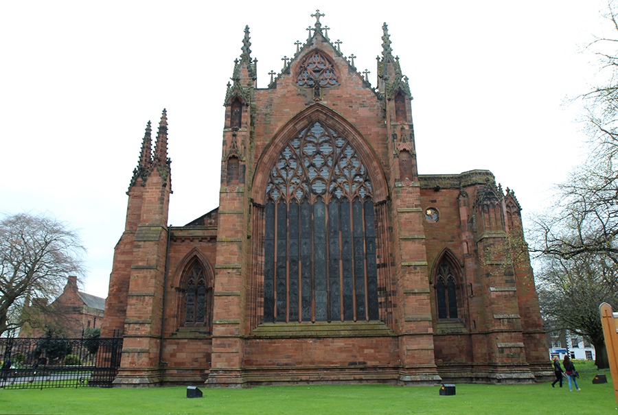
Carlisle Cathedral
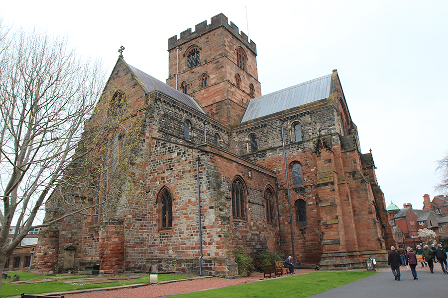
Em volta da Catedral / Around the Cathedral
Carlisle was the second most important Christian center in Britain in Arthur’s day, judging from archaeological finds. Like London, Caerleon and Chester, it had previously been a vicus, or a Roman military center. From a logistical point of view, it was the kind of center capable of supplying foodstuffs and fodder for an army and their horses, an agricultural center. In Roman times its seventy-four acres were enclosed by walls and protected by the natural geography of the land. King Arthur was probably crowned at Carlisle.” (quote: Arthur, by Norma Goodrich).

Jardins da Catedral , certamente mais bonitos num dia de sol/ Cathedral’s garden, surely more beautiful in a sunny day
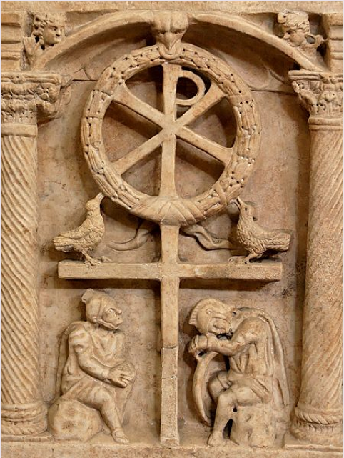
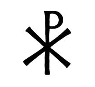
Confesso que tive um choque ao ler as conclusões da autora provando que Arthur era cristão, pois as Brumas de Avalon e demais livros o apresentam criado em Avalon, por druidas e sacerdotisas da Antiga Religião. Entretanto, o cristianismo celta era bem diferente do que hoje conhecemos. Praticamente não há registros, suprimidos pela ascensão da Igreja Romana ao longo da Idade Média e destruídos por sucessivos conquistadores. Restou a descrição de algumas cerimônias por Geoffrey de Monmouth e alguns textos de Bede, Nennius e Gildas. A Dra. Goodrich afirma que “embora se diga que as provas mais antigas da existência do Cristianismo na Britannia datam do ano 120, quando o Imperador Adriano ergueu a Muralha , a religião parecia estar florescendo no tempo do Rei Arthur – uma época de piedade cristã, segundo ela. E que Saint Gildas, cujo testemunho sustenta a existência do Rei (475-542) , era um brilhante escritor cristão”.
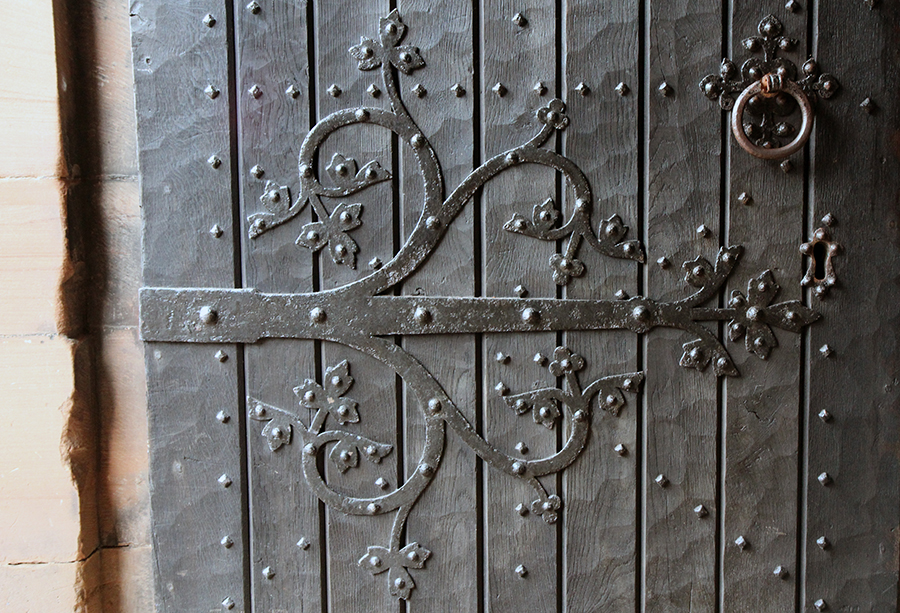
Detalhe- porta da Catedral / Detail: Cathedral ‘s door
I confess it was a shock to read the researcher’s conclusions proving Arthur a Christian , because The Mists of Avalon and other books show him being raised in Avalon by druids and priestesses of the Old Religion. Still, the Celt Christianism was very different of the one we acknowledge today. Few records survived, mostly suppressed by the uprise of the Roman Church through the Middle Ages or destroyed by consecutive conquerors. What was left was Geoffrey of Monmouth’s accounts of ceremonies and a few texts by Bede, Nennius e Gildas. Dr. Goodrich states that “while the earliest proofs of Christianity in Britain are said to go back no further than the year 120, when Emperor Hadrian erected his wall, religion was aparently flourishing by King Arthur’s time – an Age of Christian piety. Saint Gildas, whose testimony supports Arthur (c. 475-542), was a brilliant Christian writer”.
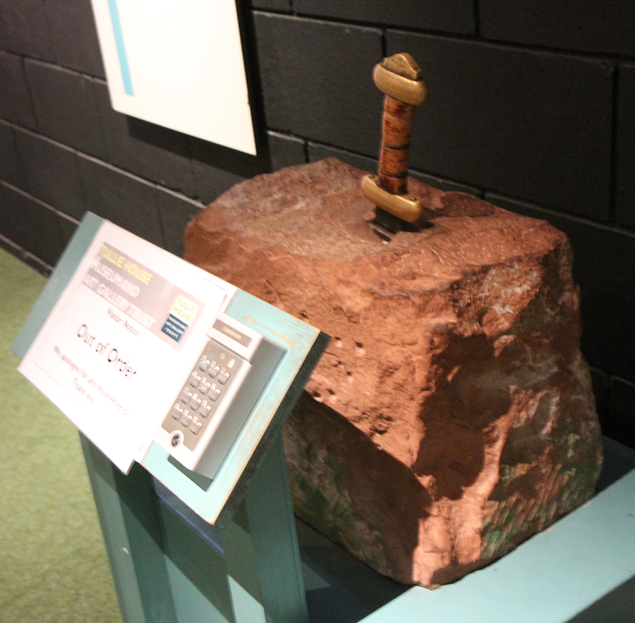
Excalibur de brinquedo no museu Tully House, Carlisle /
A toy Excalibur at Tully House Museum
Seja como for, devia ser algo muito diferente mesmo pois por volta do ano 429, para os ortodoxos no continente europeu, “ a heresia era frequente pois os britânicos preferiam suas próprias tradições às de todas as igrejas do mundo”.
Anyway, it should be particular indeed, because around the year 429, for the orthodoxy on the European continent, “heresy was already rife in Britain, for the Britons preferred their own traditions before all the churches in the world”.

O círculo de pedras de Castlerigg representado no museu Tully House/
Castlerigg landscape in the Tully House
Da mesma forma, ainda estou sob o impacto da prova da existência de Arthur – e também Merlin, Guinevere, Lancelot e os demais cavaleiros. Minha jornada espiritual passou a ser histórica também. Peço um pouco de paciência pois vou precisar de uns dias para conseguir fechar um texto sobre isso.
I’m also still under the impact of the proof of Arthur’s existance, and Merlin’s, Guinevere’s, Lancelot’s and the other knights’ too. My spiritual journey has became historic as well. I beg of you a bit of patience because I’ll need a few days to write a proper text about all this.

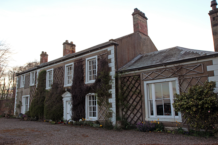
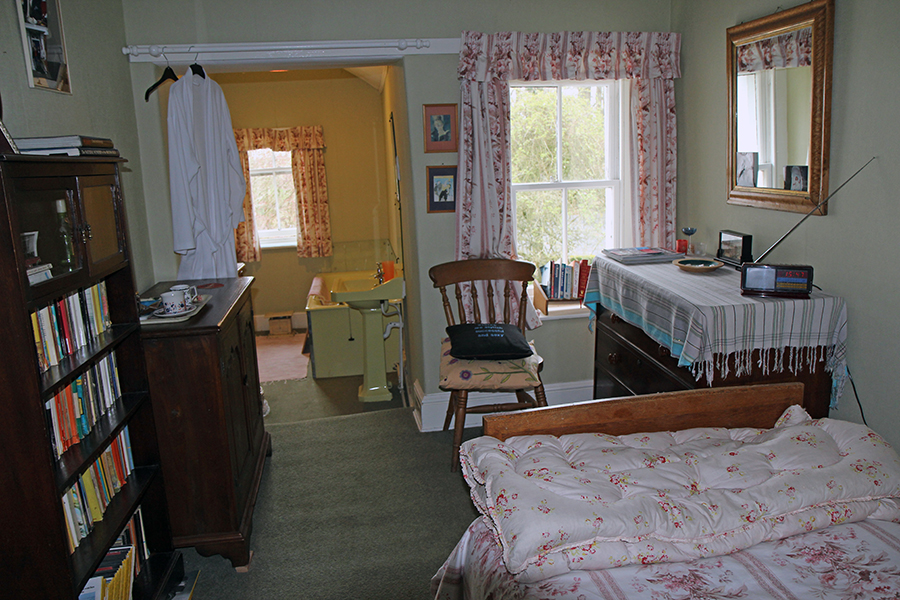
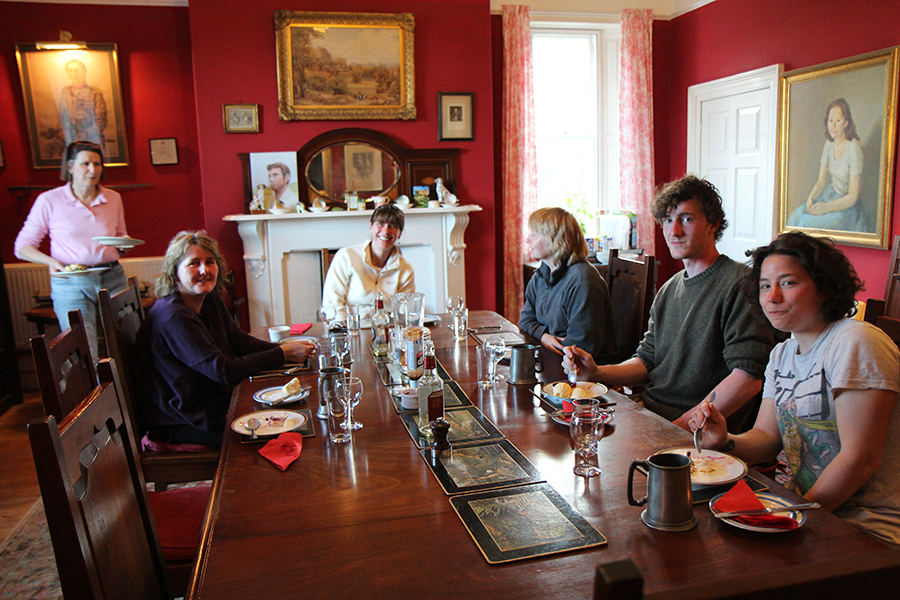
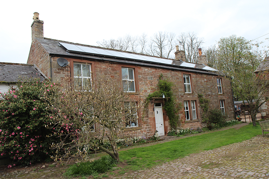
Meu quarto no B&B de Carlisle. / My room in the B&B at Carlisle