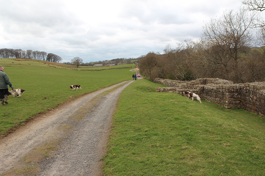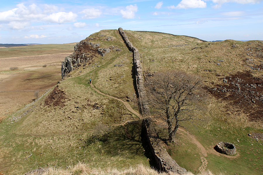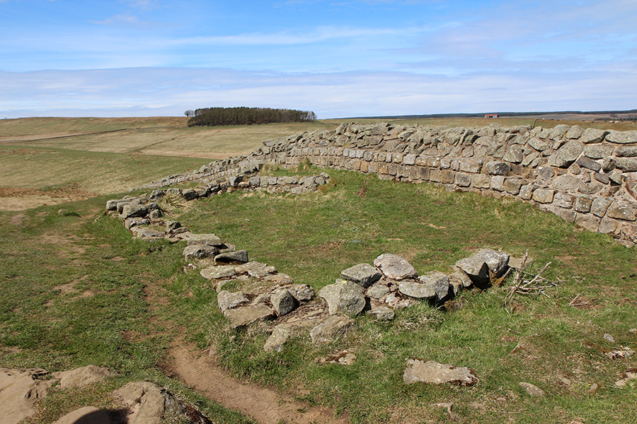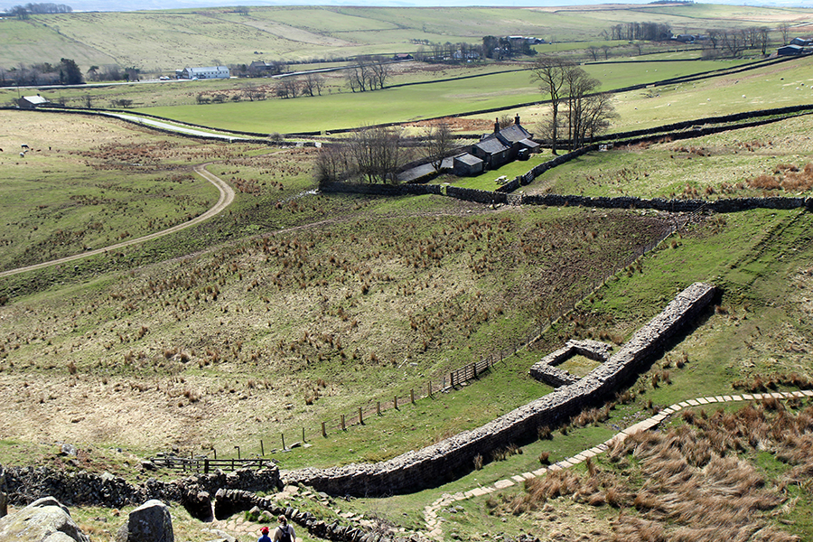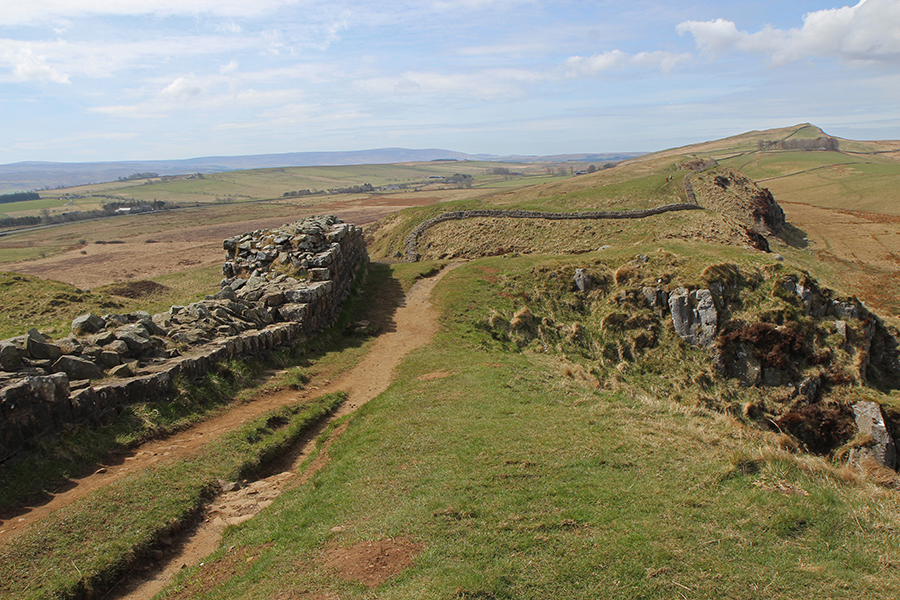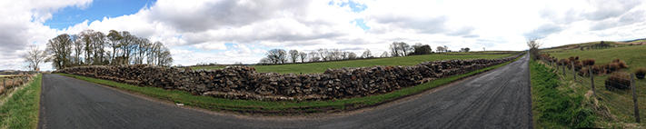
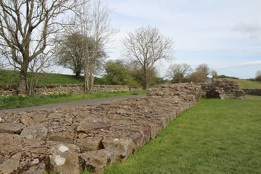
Muralha de adriano junto a Birdoswald (à esquerda, entre as árvores)./ Hadrian’s wall next to Birdoswald (among the trees, to the left)
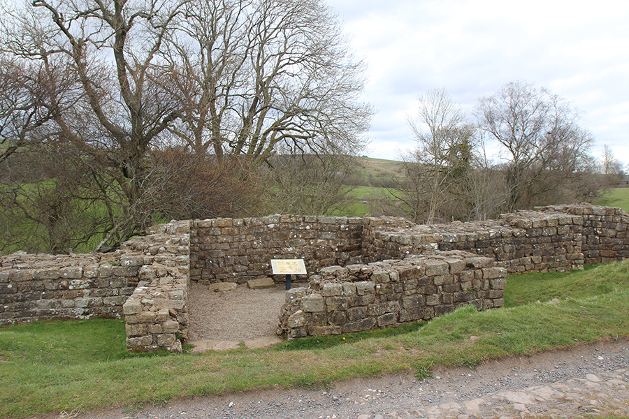
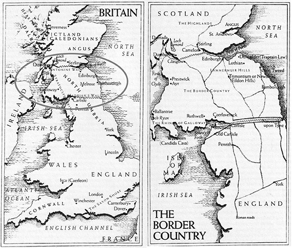
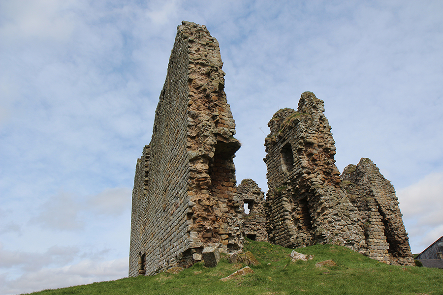
Arthur foi vitorioso nas doze batalhas que travou contra invasores, porém pouco se sabe sobre a Última Batalha, na qual o Rei enfrentou seu próprio filho Mordred, a quem abateu mas foi mortalmente ferido. Isto aconteceu num lugar chamado Camlan. Para resumir, segundo Norma Goodrich, Camlan seria “Camboglanna Roman Fort”, hoje conhecido como Birdoswald, o último forte antes de Carlisle na Muralha de Adriano.
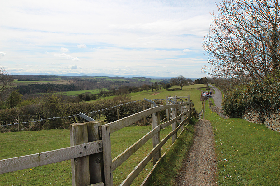
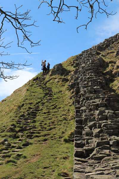
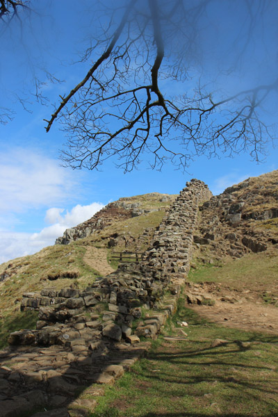
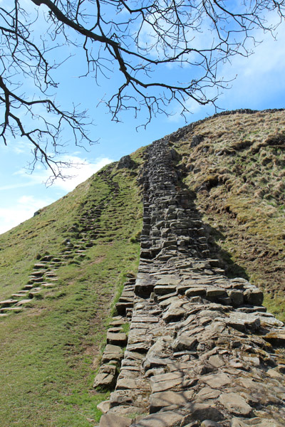
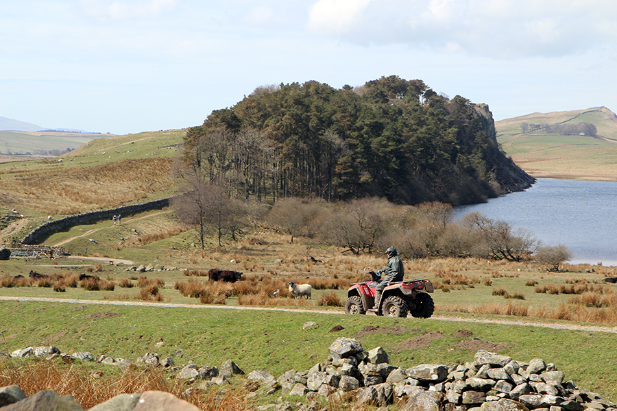
Exatamente o lugar para onde eu estava me encaminhando, e retrato nas fotos abaixo.
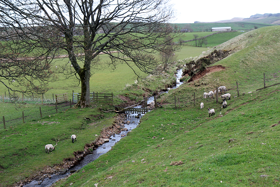
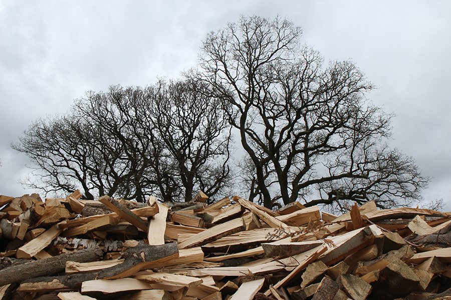
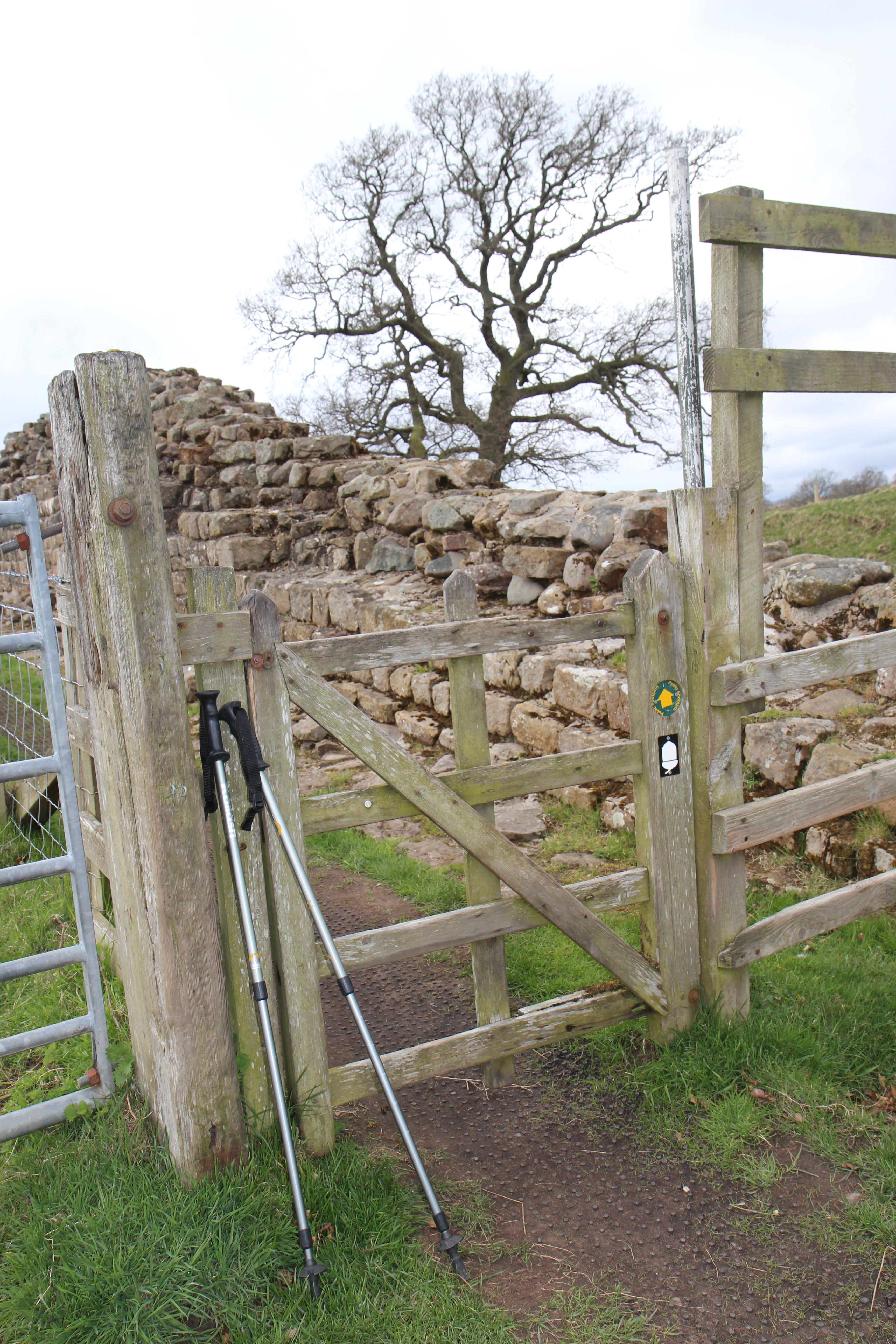
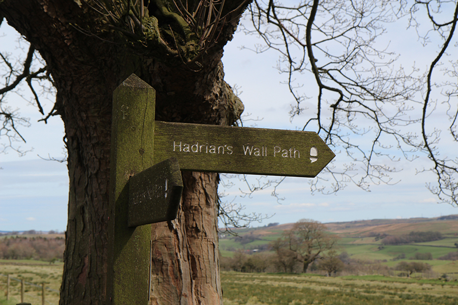
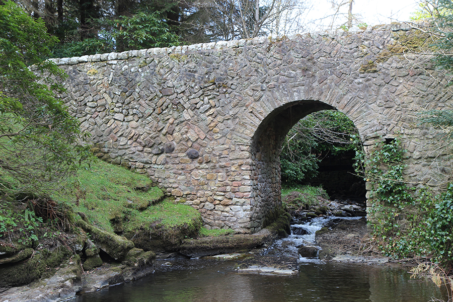
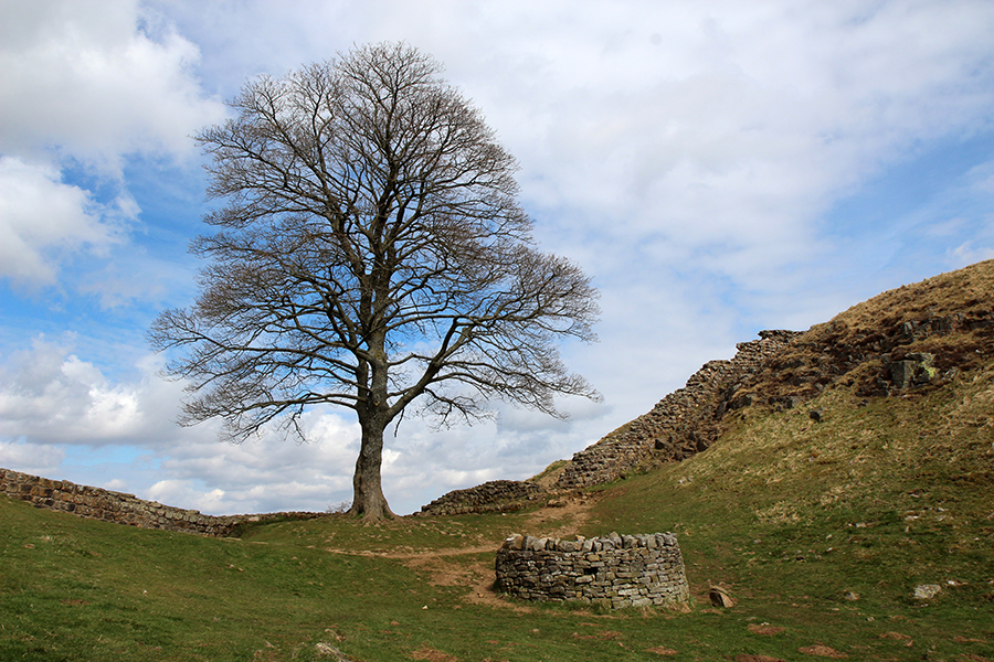
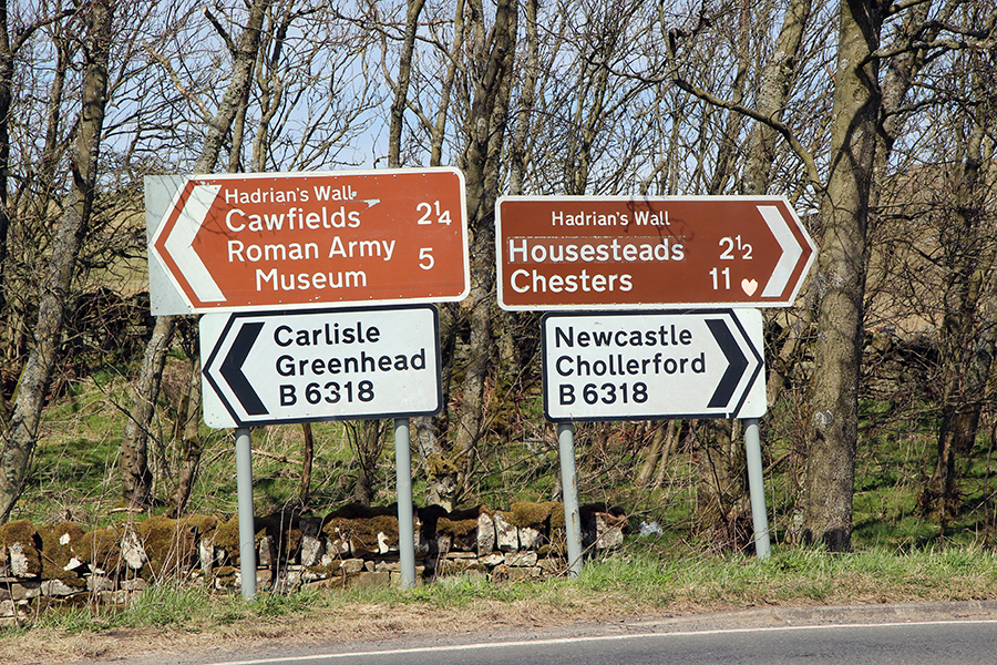
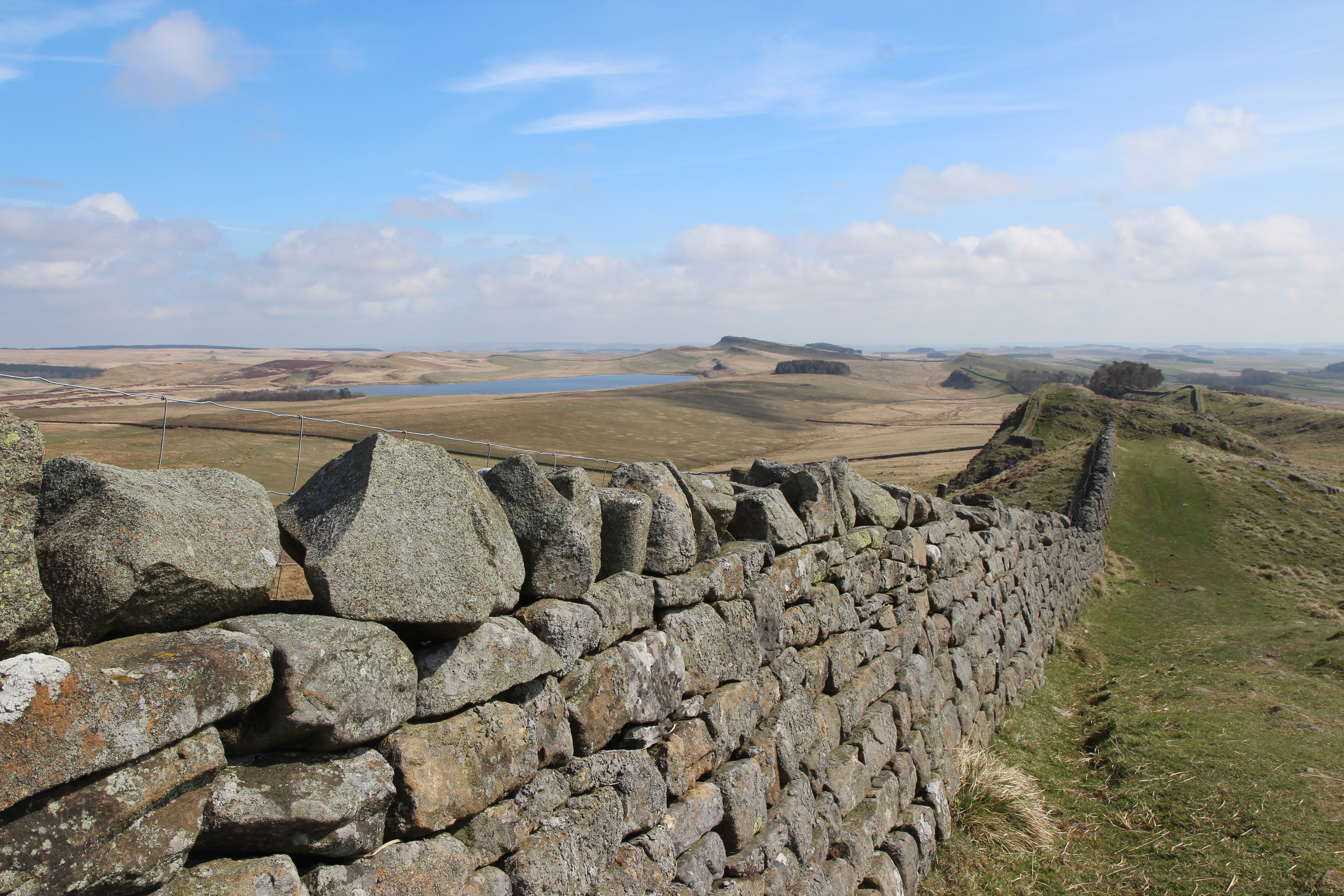
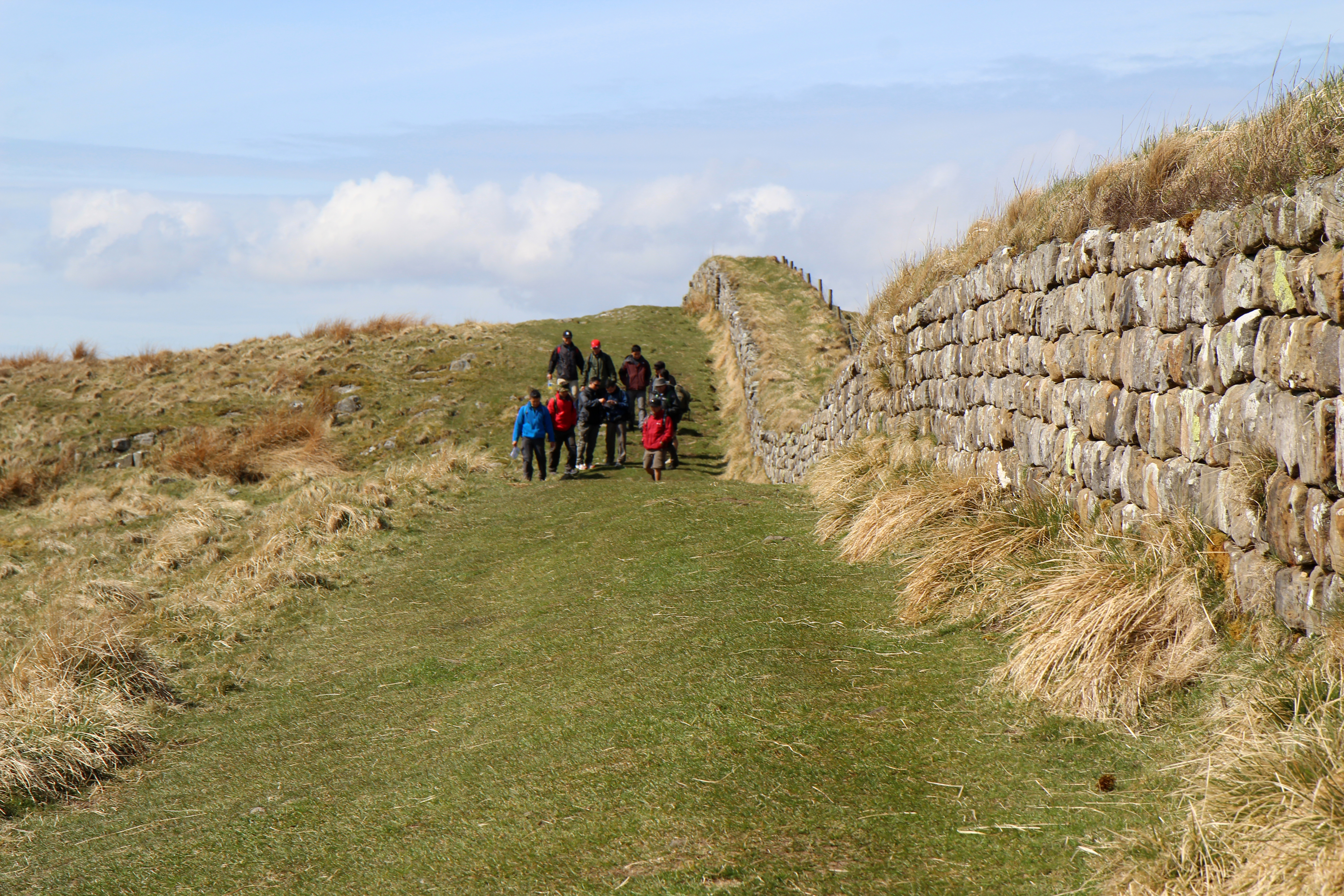
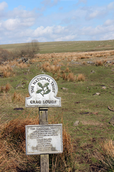
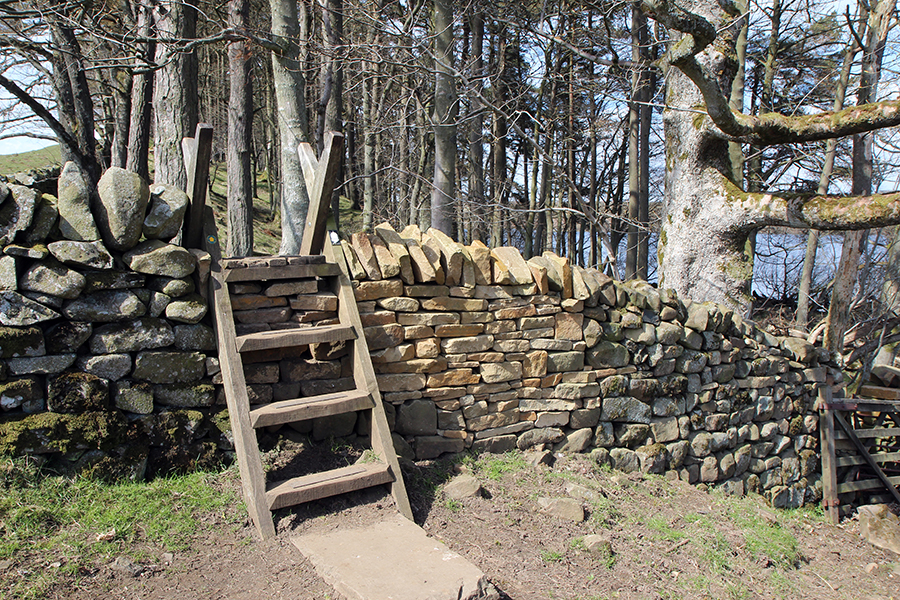
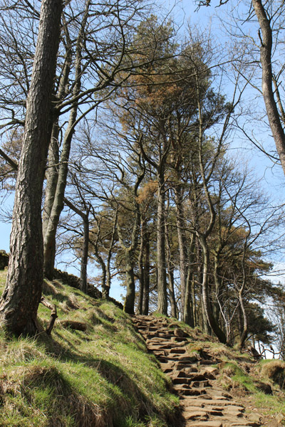
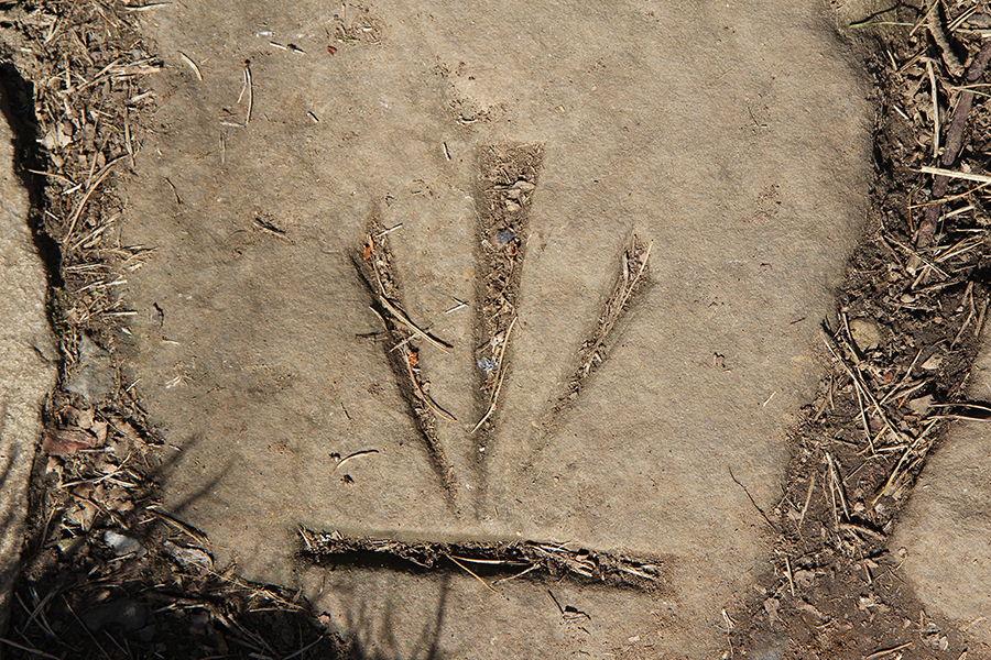
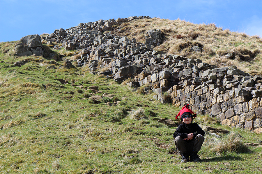
Quase lá / Almost there
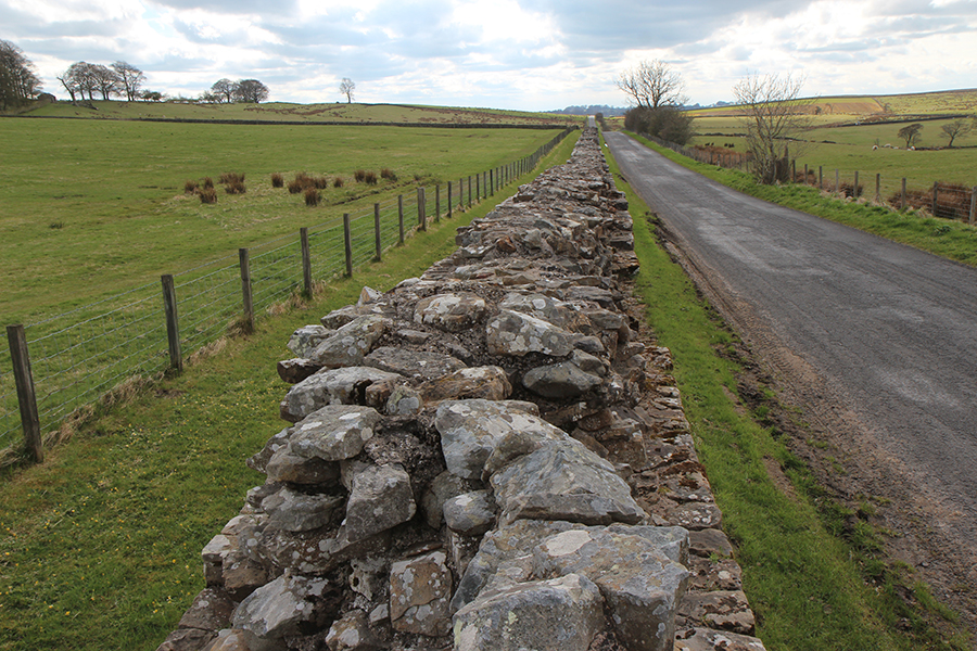
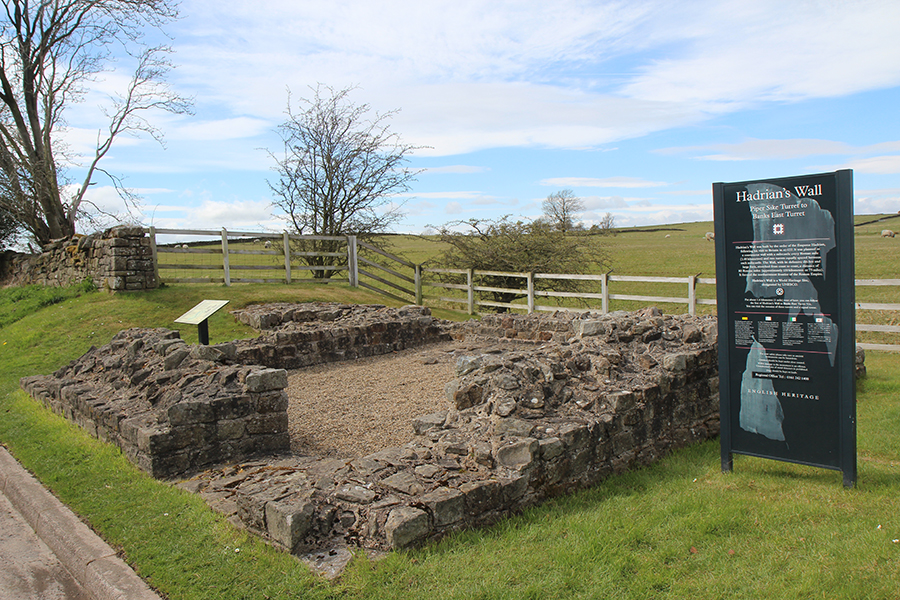
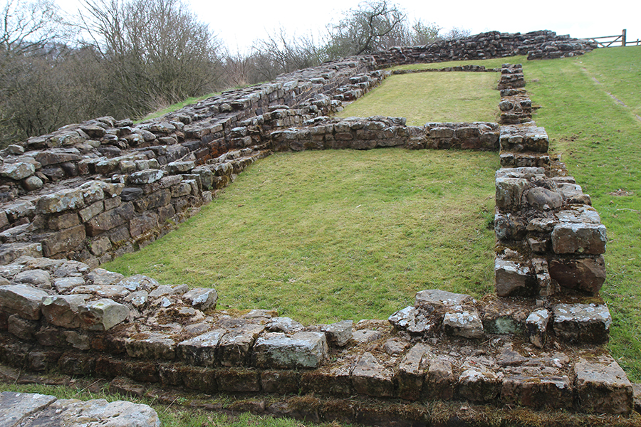
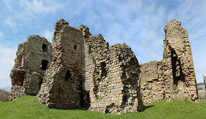
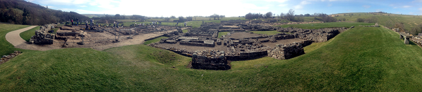
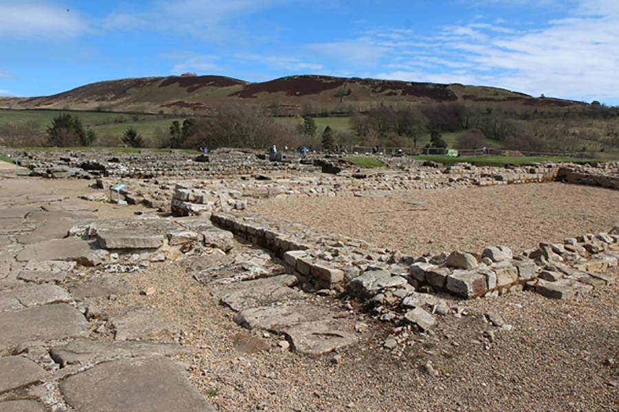
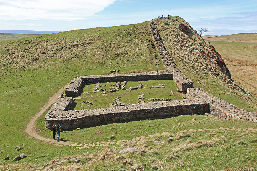
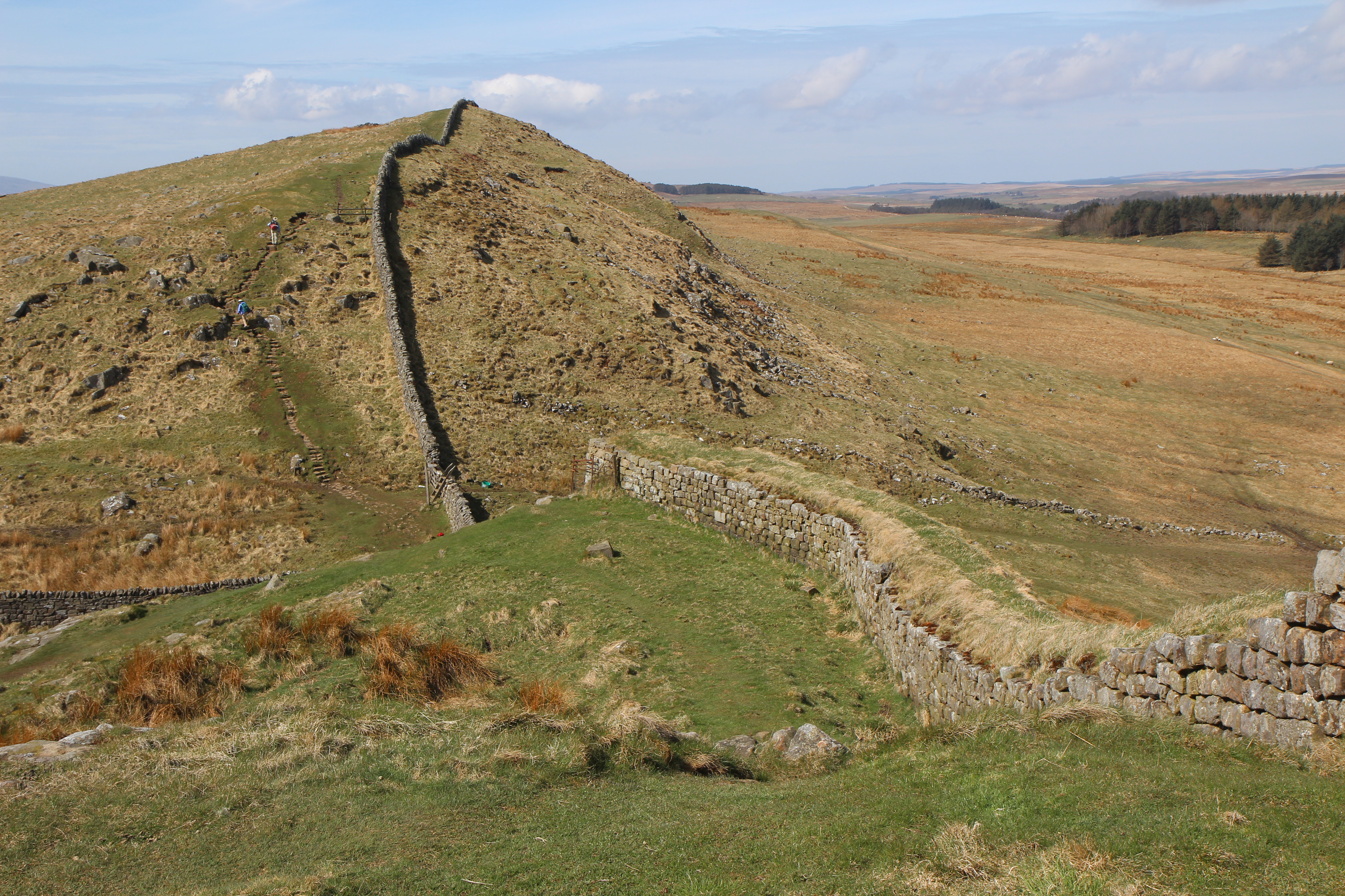
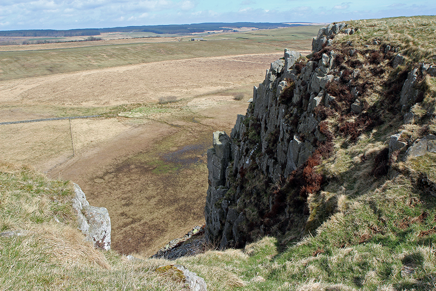
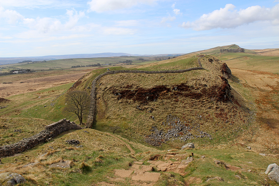
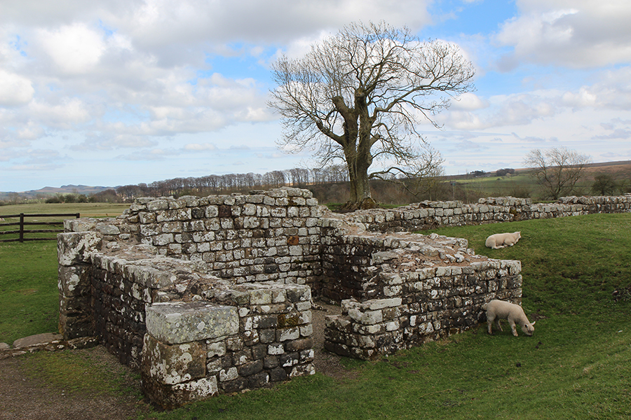
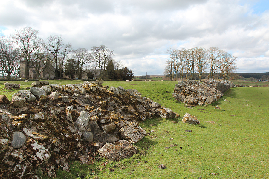
O mais longo trecho de muralha ininterrupta passa por Birdoswald / The longest steady stretch of continuous Wall pervades Birdoswald


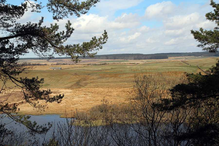
A passagem de uma nuvem muda toda a cor do lugar/ The landscape colors change as clouds go by
Arthur succeeded to defeat his enemies in twelve battles. But no one knew for certain where was or is his last battleground, somewhere called Camlan, where the King faced his own son Mordred, whom he did kill but got deadly wounded himself. To cut it short, according to Norma Goodrich, Camlan is translated “Camboglanna Roman Fort”, nowadays called Birdoswald, the last fort in Hadrian’s Wall before Carlisle.
That happened to be exactly the place I was heading to, shown in the photographs below.

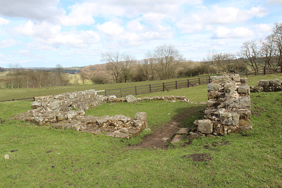
Birdoswald East Gate / Portão Leste
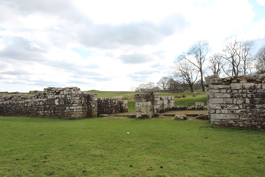
Portão Norte / North Gate
Porém, no Cicerone Guide escrito por Mark Richards, Camboglanna aparece em outro lugar: em Castlesteads, numa propriedade privada sem acesso ao público, onde um mercador da Cia das Índias Ocidentais construiu sua mansão e jardins no século 18, sobre as ruínas do forte. A Wikipedia esclarece que durante muito tempo acreditou-se que Camboglanna fosse Birdoswald, mas era um erro. O nome romano de Birdoswald é Banna. Camboglanna parece significar “vale em curva” pois dali se vê uma curva no rio Irthing, e fica 11km a oeste de Birdoswald.

Birdoswald West Gate / Portão Oeste

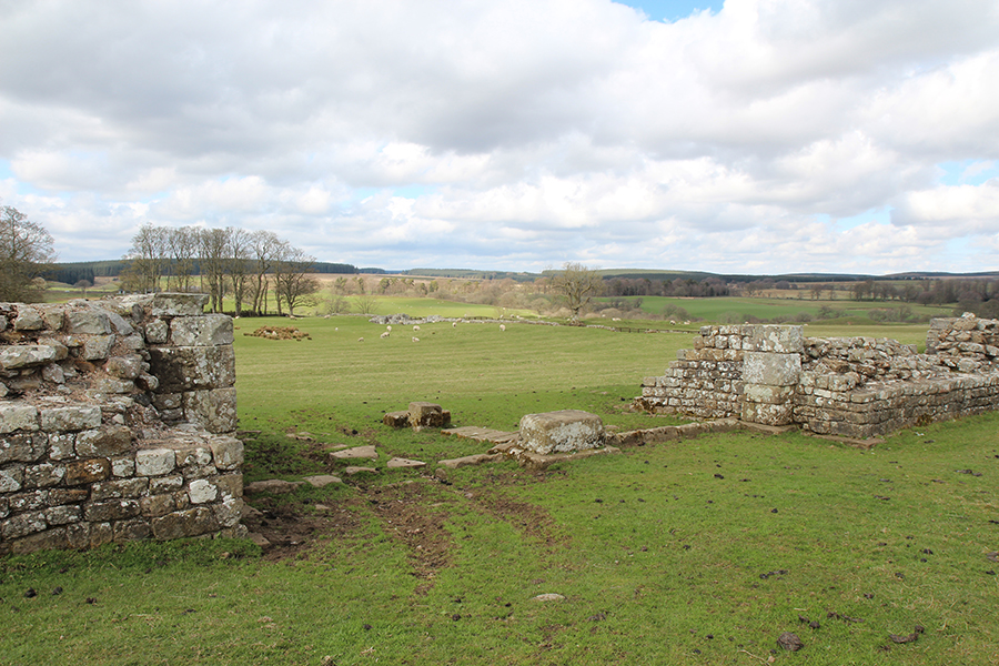
Birdoswald panorama from West Gate
But in the Cicerone Guide by Mark Richards, Camboglanna appears somewhere else: in Castlesteads, inside private property with no access for the public. It’s nowadays a great house built by a wealthy merchant from the East India Company in the 18th century. The house and its walled gardens rest upon the Roman fort ruins, destroyed when the house was built. According to the Wikipedia, there was some confusion over the Roman name for the fort. At one time Camboglanna was the accepted name for Birdoswald, but this is now believed to be an error. The Roman name for Birdoswald is now thought to be Banna. The name “Camboglana” is believed to mean “Crook Bank”, or “Bent Valley” because it overlooks a bend in the river Irthing, almost 7 miles west of Birdoswald.

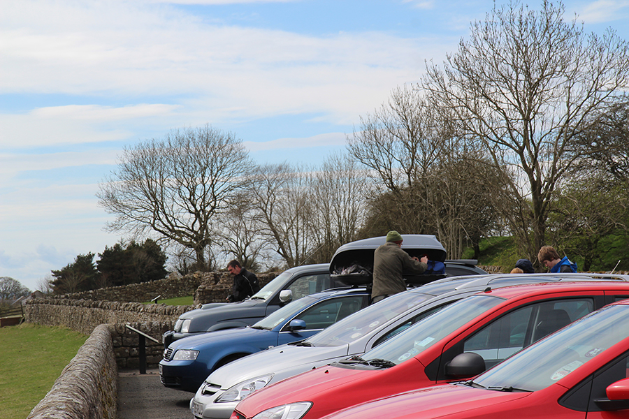
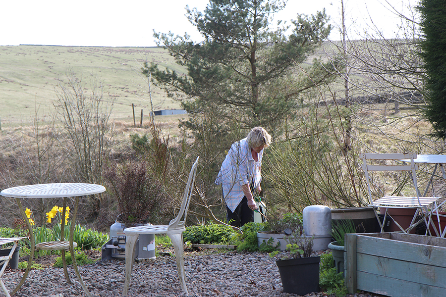
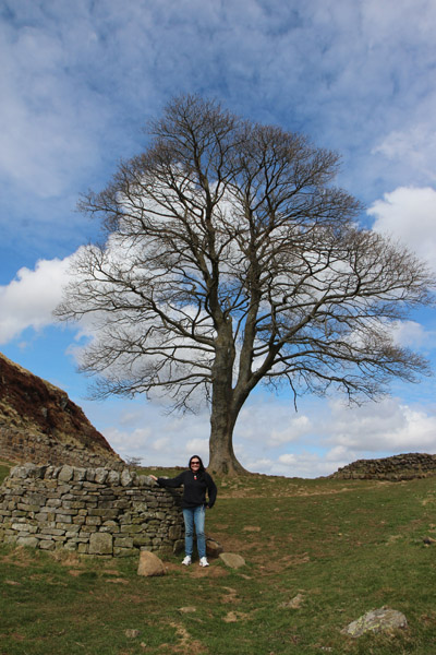
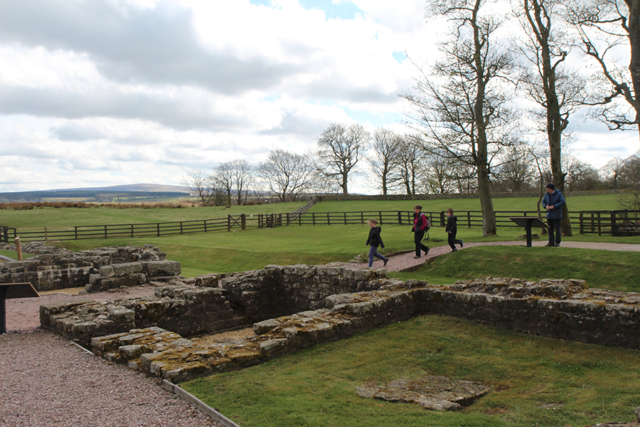
Eu não era a única visitante / I was not the only visitor

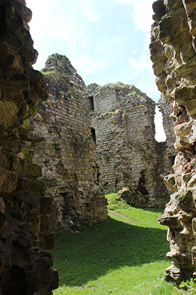
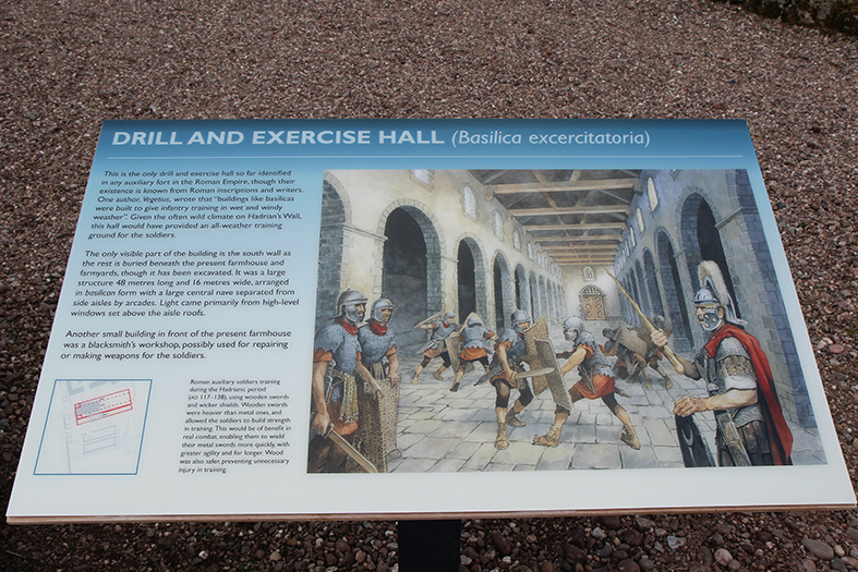
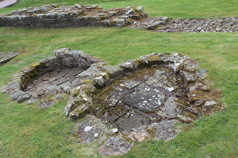
Sala de treinamento e exercício / Drill and exercise halls
Aqui entramos na região de Cumbria, depois de Northumberland.
Here we’re no longer in Northumberland, but in Cumbria.
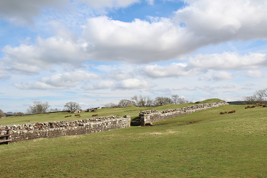
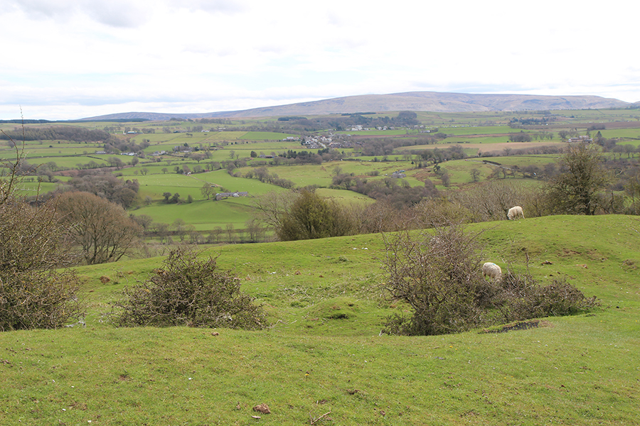
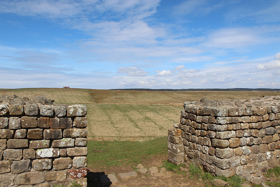
Pasto a leste, direção de onde vim / Pastures to the East, where I had come from

Vista de dentro do Portão Leste / East Gate from inside

Mesmo lugar, com nuvem / Same place, cloudy

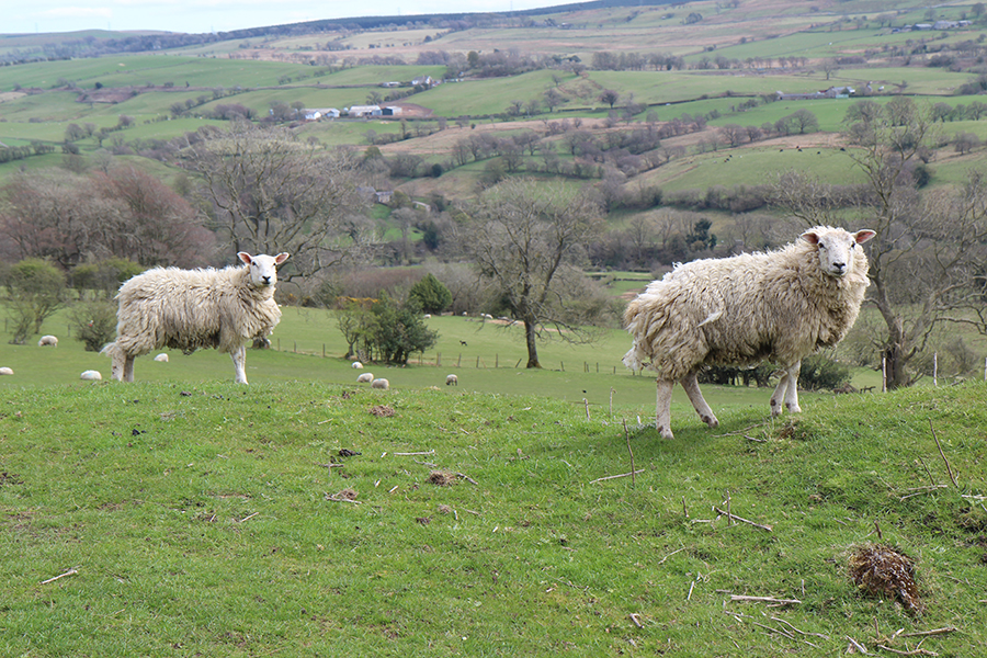
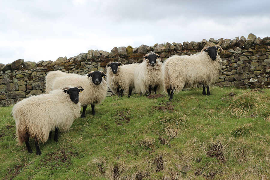
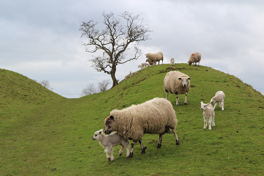
Os novos habitantes / New inhabitants

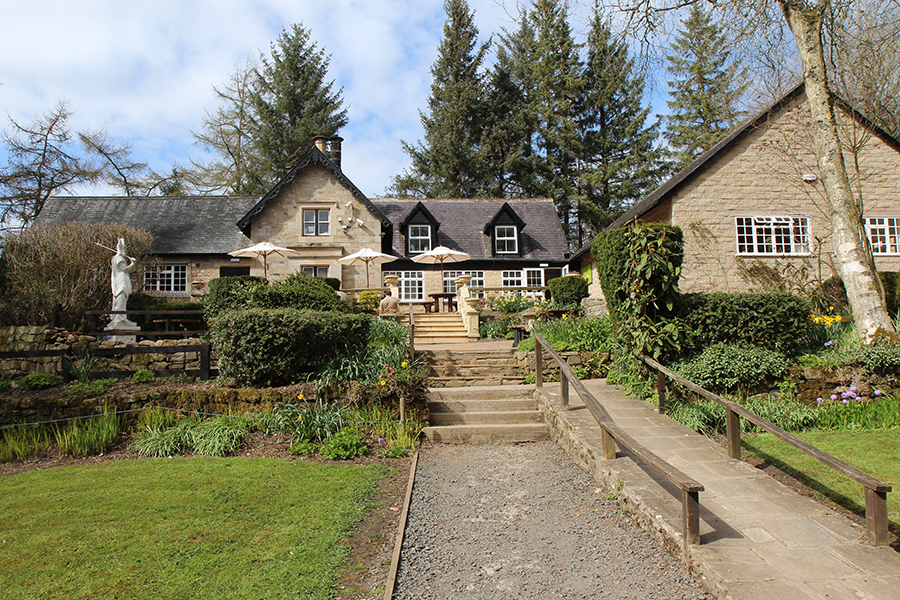
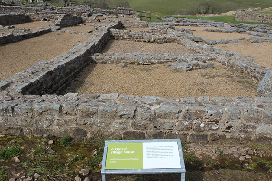
A casa de fazenda é um exemplo de utilização agrícola das estruturas romanas ao longo da Muralha/ The farm house is an example of the agricultural use of Roman structures along the Wall
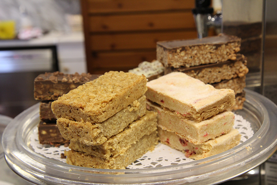
Ali funciona atualmente o pequeno museu e um café /Nowadays it houses a small museum and café

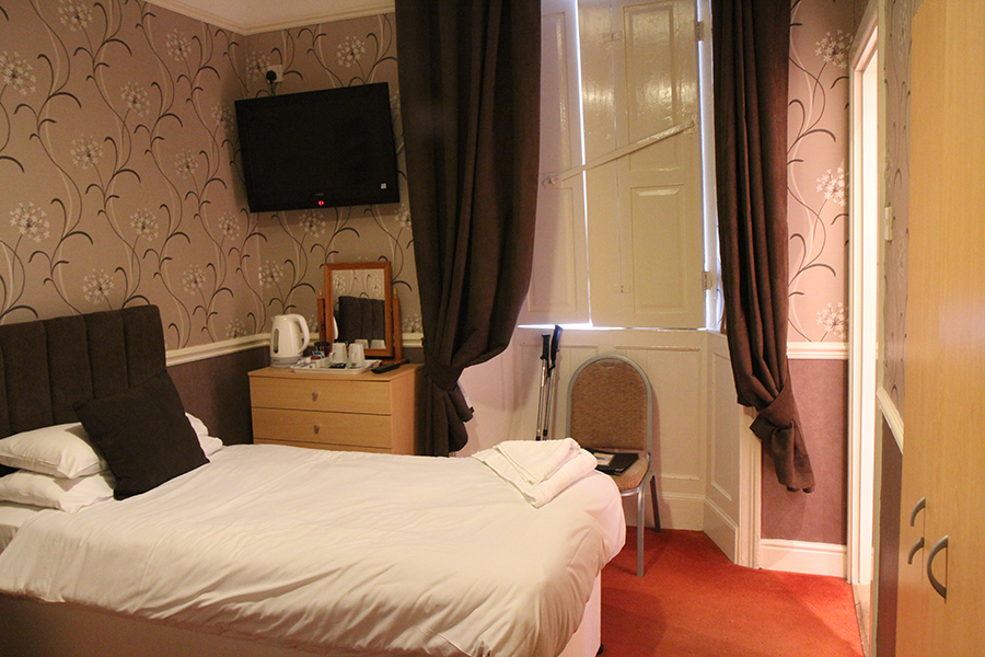
Há acomodação na casa da fazenda para visitantes que queiram ficar neste lugar histórico. / Birdoswald offers farmhouse-style accommodation for those wishing to stay within this historic site.

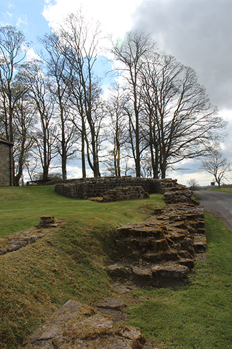
Roman halls
Horário de visitação / Opening time from 1 April – 30 September: 10:00 – 18:00
Ingresso/ Price: Adult £5.60; Child (5-15 years) £3.40 ; Concession £5.00 (estudantes e pessoas acima de 60 anos)

3 November 2014 – 15 February: Abre apenas sábado e domingo / Only weekends, 10:00 – 16:00
Endereço/ Address: Gilsland, Brampton, Cumbria – CA8 7DD Telephone: 016977 47602
Portão Sul / South Gate